
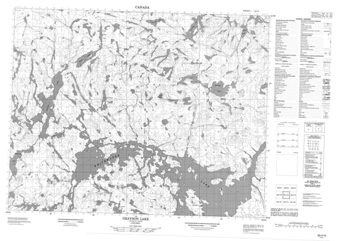
052I14 Grayson Lake Canada topo map, 1:50,000 scale
052I14 Grayson Lake NRCAN topographic map.
Includes UTM and GPS geographic coordinates (latitude and longitude). This 50k scale map is suitable for hiking, camping, and exploring, or you could frame it as a wall map.
Printed on-demand using high resolution, on heavy weight and acid free paper, or as an upgrade on a variety of synthetic materials.
Topos available on paper, Waterproof, Poly, or Tyvek. Usually shipping rolled, unless combined with other folded maps in one order.
- Product Number: NRCAN-052I14
- Parent Topo: TOPO-052I
- Map ID also known as: 052I14, 52I14
- Unfolded Size: Approximately 26" high by 36" wide
- Weight (paper map): ca. 55 grams
- Map Type: POD NRCAN Topographic Map
- Map Scale: 1:50,000
- Geographical region: Ontario, Canada
Neighboring Maps:
All neighboring Canadian topo maps are available for sale online at 1:50,000 scale.
Purchase the smaller scale map covering this area: Topo-052I
Spatial coverage:
Topo map sheet 052I14 Grayson Lake covers the following places:
- Best Island - Cobbett Lake - Dawn Lake - Grayson Lake - Hildreth Lake - Hood Lake - Komer Lake - Mice Lake - Montcrief Lake - Oliver Lake - Omdahl Lake - Sollows Lake - Souter Lake - Upper Hood Lake - Whitewater Lake - Wabakimi Provincial Park - Dawn Creek - Goldsborough Creek - Grayson River - Mice Creek - Montcrief River - Ogoki River - Souter Creek


