
052H15 Kelvin Island Canada topo map, 1:50,000 scale
052H15 Kelvin Island NRCAN topographic map.
Includes UTM and GPS geographic coordinates (latitude and longitude). This 50k scale map is suitable for hiking, camping, and exploring, or you could frame it as a wall map.
Printed on-demand using high resolution, on heavy weight and acid free paper, or as an upgrade on a variety of synthetic materials.
Topos available on paper, Waterproof, Poly, or Tyvek. Usually shipping rolled, unless combined with other folded maps in one order.
- Product Number: NRCAN-052H15
- Parent Topo: TOPO-052H
- Map ID also known as: 052H15, 52H15
- Unfolded Size: Approximately 26" high by 36" wide
- Weight (paper map): ca. 55 grams
- Map Type: POD NRCAN Topographic Map
- Map Scale: 1:50,000
- Geographical region: Ontario, Canada
Neighboring Maps:
All neighboring Canadian topo maps are available for sale online at 1:50,000 scale.
Purchase the smaller scale map covering this area: Topo-052H
Spatial coverage:
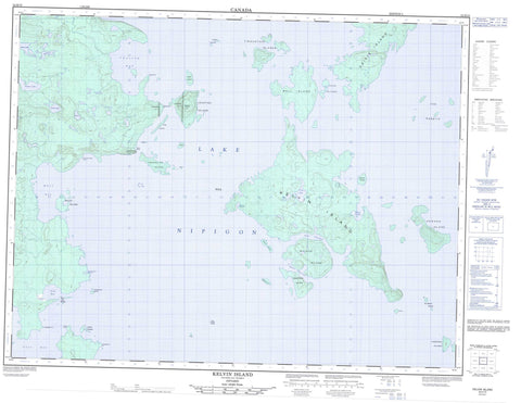
Topo map sheet 052H15 Kelvin Island covers the following places:
- Bud's Harbour - English Bay - Gull Bay - Henry's Harbour - Kaiashk Bay - Little Caribou Harbour - Moose's Harbour - Pike Bay - Wabinosh Bay - West Bay - Champlain Point - English Point - Nazoteka Point - Redstone Point - Rocking Chair Point - Snake Point - Inner Channel - Outer Channel - Anderson Islands - Balash Island - Bell Island - Birch Island - Blacksmith Island - Boles Island - Cattle Island - Dawson Island - Dog Island - Dray Island - Dry Beaver Islands - Dry-beaver Islands - Endakwis Island - Frog Island - Gaunt Island - Geikie Island - Jackfish Island - Keam Islands - Kelvin Island - Kidney Islands - Little Caribou Islands - Mink Island - Mountain Islands - Pike Bay Islands - Round Island - Snake Islands - The Rabbits - Undercliff Island - Wilson Island - Cry Lake - Frith Lake - Howlett Lake - Kettle Lake - Lac Nipigon - Lake Nipigon - Roder Lake - Stark Lake - Vooges Lake - Mount Royal - Undercliff Mountain - Lake Nipigon Conservation Reserve - West Bay Provincial Nature Reserve - Echo Rock - Frog Island Shoal


