
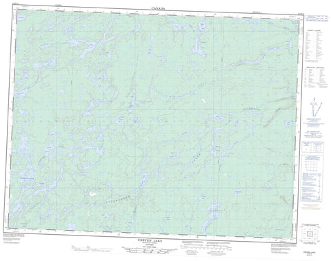
052H13 Uneven Lake Canada topo map, 1:50,000 scale
052H13 Uneven Lake NRCAN topographic map.
Includes UTM and GPS geographic coordinates (latitude and longitude). This 50k scale map is suitable for hiking, camping, and exploring, or you could frame it as a wall map.
Printed on-demand using high resolution, on heavy weight and acid free paper, or as an upgrade on a variety of synthetic materials.
Topos available on paper, Waterproof, Poly, or Tyvek. Usually shipping rolled, unless combined with other folded maps in one order.
- Product Number: NRCAN-052H13
- Parent Topo: TOPO-052H
- Map ID also known as: 052H13, 52H13
- Unfolded Size: Approximately 26" high by 36" wide
- Weight (paper map): ca. 55 grams
- Map Type: POD NRCAN Topographic Map
- Map Scale: 1:50,000
- Geographical region: Ontario, Canada
Neighboring Maps:
All neighboring Canadian topo maps are available for sale online at 1:50,000 scale.
Purchase the smaller scale map covering this area: Topo-052H
Spatial coverage:
Topo map sheet 052H13 Uneven Lake covers the following places:
- Avey Lake - Awkward Lake - Badour Lake - Bate Lake - Birchall Lake - Blueboy Lake - Brett Lake - Chrome Lake - Cramp Lake - Donald Lake - Duckshead Lake - Fatima Lake - Gaal Lake - Goosander Lake - Gunter Lake - Hawn Lake - Hillman Lake - Kashishibog Lake - Kershaw Lake - Leigh Lake - Muller Lake - Myles Lake - Neath Lake - Ottertooth Lake - Paddon Lake - Page Lake - Patman Lake - Pedwell Lake - Puddy Lake - Quinlan Lake - Rollet Lake - Salter Lake - Savage Lake - Scalp Lake - Silk Lake - Survey Lake - Tapp Lake - Tommyhow Lake - Trenholm Lake - Uneven Lake - Waterhouse Lake - Whitebirch Lake - Kopka River Provincial Park - Obonga-Ottertooth Provincial Park - Pantagruel Creek Provincial Nature Reserve - Blueboy Creek - Damon Creek - Goosander Creek - Gossander Creek - Holinshead Creek - Kashishibog River - Kopka River - Lawrence Creek - Ottertooth Creek - Pantagruel Creek - Rabelais Creek - Roaring River - Scalp Creek - Survey Creek - Wig Creek


