
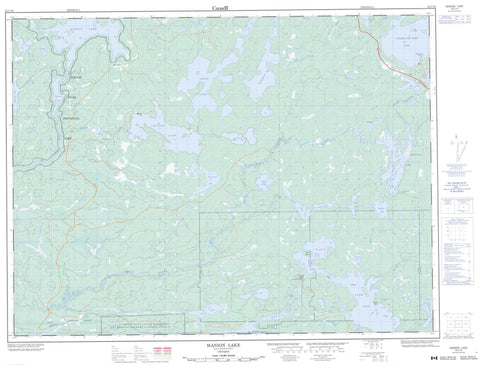
052C16 Manion Lake Canada topo map, 1:50,000 scale
052C16 Manion Lake NRCAN topographic map.
Includes UTM and GPS geographic coordinates (latitude and longitude). This 50k scale map is suitable for hiking, camping, and exploring, or you could frame it as a wall map.
Printed on-demand using high resolution, on heavy weight and acid free paper, or as an upgrade on a variety of synthetic materials.
Topos available on paper, Waterproof, Poly, or Tyvek. Usually shipping rolled, unless combined with other folded maps in one order.
- Product Number: NRCAN-052C16
- Parent Topo: TOPO-052C
- Map ID also known as: 052C16, 52C16
- Unfolded Size: Approximately 26" high by 36" wide
- Weight (paper map): ca. 55 grams
- Map Type: POD NRCAN Topographic Map
- Map Scale: 1:50,000
- Geographical region: Ontario, Canada
Neighboring Maps:
All neighboring Canadian topo maps are available for sale online at 1:50,000 scale.
Purchase the smaller scale map covering this area: Topo-052C
Spatial coverage:
Topo map sheet 052C16 Manion Lake covers the following places:
- Blind Pig Bay - Fin Bay - Hepburn Bay - Fotheringham Point - Redpine Point - Horse Falls - Asmussen - Bennett - Rainy River - Tanner - Réserve indienne Sturgeon Falls 23 - Sturgeon Falls Indian Reserve 23 - Birch Island - Deer Island - Mid Island - Bennett Lake - Beynon Lake - Big Joe Lake - Bootleg Lake - Busch Lake - Calm Lake - Cantley Lake - Clearwater West Lake - Dovetail Lake - Eli Lake - Eltrut Lake - Gagon Lake - Graytrout Lake - Grey Trout Lake - Greytrout Lake - Hepburn Lake - Holmes Lake - Joe Lake - Kirsten Lake - Little Joe Lake - Long Lake - Manford Lake - Manion Lake - McPherson Lake - Miners Lake - Moonshine Lake - Moosetrack Lake - Mount Lake - Mud Lake - Niven Lake - Peninsula Lake - Pettit Lake - Reed Lake - Robinson Lake - Roman Lake - Roscoe Lake - Sandbeach Lake - Speed Lake - Turtle Lake - Twin Lakes - Turtle River Provincial Park - Turtle River-White Otter Lake Provincial Park - Manitou Rapids - Bennett Creek - Big Turtle River - Bold Creek - Cantley Creek - Canyon Creek - Hillyer Creek - Little Joe Creek - Little Turtle River - Manion Creek - Mills Creek - Miranda Creek - Moosetrack Creek - Niven Creek - Seine River - Tesup Creek - Turtle River - Gull Rocks - Crilly - Glenorchy - Laseine - The Gorge


