
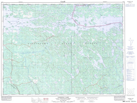
052C07 Namakan Lake Canada topo map, 1:50,000 scale
052C07 Namakan Lake NRCAN topographic map.
Includes UTM and GPS geographic coordinates (latitude and longitude). This 50k scale map is suitable for hiking, camping, and exploring, or you could frame it as a wall map.
Printed on-demand using high resolution, on heavy weight and acid free paper, or as an upgrade on a variety of synthetic materials.
Topos available on paper, Waterproof, Poly, or Tyvek. Usually shipping rolled, unless combined with other folded maps in one order.
- Product Number: NRCAN-052C07
- Parent Topo: TOPO-052C
- Map ID also known as: 052C07, 52C7, 52C07
- Unfolded Size: Approximately 26" high by 36" wide
- Weight (paper map): ca. 55 grams
- Map Type: POD NRCAN Topographic Map
- Map Scale: 1:50,000
- Geographical region: Ontario, Canada
Neighboring Maps:
All neighboring Canadian topo maps are available for sale online at 1:50,000 scale.
Purchase the smaller scale map covering this area: Topo-052C
Spatial coverage:
Topo map sheet 052C07 Namakan Lake covers the following places:
- Hale Bay - Knox Bay - Paddy Bay - Black Point - International Channel - Squaw Narrows - Squirrel Narrows - Kettle Falls - Squirrel Falls - Rainy River - Blackstone Island - Blue Island - Erickson Island - Gull Island - Kettle Island - Knox Island - Moose Island - Randolph Island - Sixdeer Island - Squirrel Island - Kemp Lake - Lac à la Pluie - Lost Lake - Namakan Lake - Rainy Lake - Salo Lake - Tahoe Lake - Bear River - Canadian Portage - Soldiers Portage


