
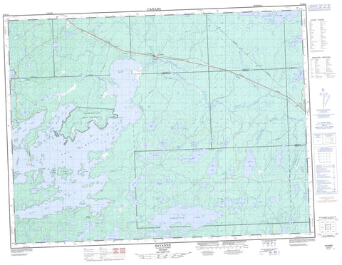
052B16 Savanne Canada topo map, 1:50,000 scale
052B16 Savanne NRCAN topographic map.
Includes UTM and GPS geographic coordinates (latitude and longitude). This 50k scale map is suitable for hiking, camping, and exploring, or you could frame it as a wall map.
Printed on-demand using high resolution, on heavy weight and acid free paper, or as an upgrade on a variety of synthetic materials.
Topos available on paper, Waterproof, Poly, or Tyvek. Usually shipping rolled, unless combined with other folded maps in one order.
- Product Number: NRCAN-052B16
- Parent Topo: TOPO-052B
- Map ID also known as: 052B16, 52B16
- Unfolded Size: Approximately 26" high by 36" wide
- Weight (paper map): ca. 55 grams
- Map Type: POD NRCAN Topographic Map
- Map Scale: 1:50,000
- Geographical region: Ontario, Canada
Neighboring Maps:
All neighboring Canadian topo maps are available for sale online at 1:50,000 scale.
Purchase the smaller scale map covering this area: Topo-052B
Spatial coverage:
Topo map sheet 052B16 Savanne covers the following places:
- Bolton Bay - Dawson Bay - Open Bay - Portage Bay - Reserve Bay - Sawmill Bay - Shelter Bay - Trout Bay - Pine Point - Poplar Point - Sand Point - Fallis - Gibbard - Golding - Goodfellow - Inwood - Joynt - Robson - Savanne - Wardrope - Lac des Mille Lacs 22A1 - Lac des Mille Lacs Indian Reserve 22A1 - Réserve indienne Lac des Mille Lacs 22A1 - Birch Island - Case Island - Hook Island - Mountain Islands - Rabbit Island - Shaft Island - Tunnel Island - Aquiline Lake - Argon Lake - Athelstane Lake - Boundary Lake - Cabin Lake - Camp Lake - Campbell Lake - Clearwater Lake - Clements Lake - Cushing Lake - Dawson Lake - Dexter Lake - Doats Lake - Dozy Lake - Gessie Lake - Gill Lake - Glen Lake - Good Lake - Hawkshaw Lake - Henderson Lake - Home Lake - Ice Lake - Jordain Lake - Kashabowie Lake - Lac des Mille Lacs - Lac du Milieu - Lanigan Lake - Little Athelstane Lake - Little Kashabowie Lake - Long Lake - Minnow Lake - Modo Lake - Murphy Lake - Muskeg Lake - Oistrach Lake - Panache Lake - Peterkin Lake - Pistol Lake - Potash Lake - Quilp Lake - Rest Lake - Round Lake - Rusty Lake - Savanne Lake - Smith Lake - Lac des Mille Lacs Conservation Reserve - Argon Creek - Athelstane Creek - Dexter Creek - Little Savanne River - McKay Creek - Peterkin Creek - Rest Brook - Rest Creek - Savanne River - Upsala Creek - Height of Land Portage - Argon - Biota - James - Poland - Savanne


