
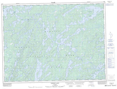
052B06 Kawnipi Lake Canada topo map, 1:50,000 scale
052B06 Kawnipi Lake NRCAN topographic map.
Includes UTM and GPS geographic coordinates (latitude and longitude). This 50k scale map is suitable for hiking, camping, and exploring, or you could frame it as a wall map.
Printed on-demand using high resolution, on heavy weight and acid free paper, or as an upgrade on a variety of synthetic materials.
Topos available on paper, Waterproof, Poly, or Tyvek. Usually shipping rolled, unless combined with other folded maps in one order.
- Product Number: NRCAN-052B06
- Parent Topo: TOPO-052B
- Map ID also known as: 052B06, 52B6, 52B06
- Unfolded Size: Approximately 26" high by 36" wide
- Weight (paper map): ca. 55 grams
- Map Type: POD NRCAN Topographic Map
- Map Scale: 1:50,000
- Geographical region: Ontario, Canada
Neighboring Maps:
All neighboring Canadian topo maps are available for sale online at 1:50,000 scale.
Purchase the smaller scale map covering this area: Topo-052B
Spatial coverage:
Topo map sheet 052B06 Kawnipi Lake covers the following places:
- Ahsin Bay - Atkins Bay - Kawa Bay - McKenzie Bay - McVicar Bay - Agnes River East Channel - Agnes River West Channel - Canyon Falls - Chatterton Falls - Kennebas Falls - Koko Falls - Little Falls - Snake Falls - Split Rock Falls - Splitfrock Falls - Hunter Island - Kasie Island - Long Island - Rose Island - Agnes Lake - Alice Lake - Anubis Lake - Asin Lake - Baird Lake - Bird Lake - Blackstone Lake - Cairn Lake - Camel Lake - Chatterton Lake - Cub Lake - Cullen Lake - Cushing Lake - Cutty Lake - Dack Lake - Deacon Lake - Devine Lake - Drake Lake - Eag Lake - Ferguson Lake - Fluker Lake - Gahn Lake - Guda Lake - Heronshaw Lake - Hurlburt Lake - Joliat Lake - Joyce Lake - Kahshahpiwi Lake - Kawnipi Lake - Keats Lake - Keefer Lake - Keewatin Lake - Kenny Lake - Lemay Lake - Lindsay Lake - Mack Lake - McDougall Lake - McEwen Lake - McKenzie Lake - Metacryst Lake - Montgomery Lake - Munro Lake - Murdoch Lake - Ossian Lake - Payne Lake - Pierna Lake - Poulin Lake - Ptolemy Lake - Quinn Lake - Reid Lake - Russell Lake - Saganagons Lake - Sark Lake - Shelley Lake - Silence Lake - Slate Lake - Swartman Lake - Tario Lake - Trant Lake - Veron Lake - Wet Lake - Williams Lake - Woodside Lake - Quetico Provincial Park - Grand Rapids - Cache River - Cutty Creek - Dettbarn Creek - Dettburn Creek - Devine Creek - Ferguson Creek - Hurlburt Creek - Kahshahpiwi Creek - Lemay Creek - Mack Creek - McEwen Creek - Wawiag River - Woodside Creek - Have a Smoke Portage


