
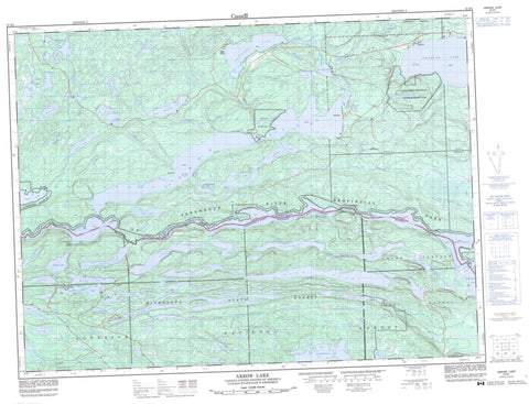
052B01 Arrow Lake Canada topo map, 1:50,000 scale
052B01 Arrow Lake NRCAN topographic map.
Includes UTM and GPS geographic coordinates (latitude and longitude). This 50k scale map is suitable for hiking, camping, and exploring, or you could frame it as a wall map.
Printed on-demand using high resolution, on heavy weight and acid free paper, or as an upgrade on a variety of synthetic materials.
Topos available on paper, Waterproof, Poly, or Tyvek. Usually shipping rolled, unless combined with other folded maps in one order.
- Product Number: NRCAN-052B01
- Parent Topo: TOPO-052B
- Map ID also known as: 052B01, 52B1, 52B01
- Unfolded Size: Approximately 26" high by 36" wide
- Weight (paper map): ca. 55 grams
- Map Type: POD NRCAN Topographic Map
- Map Scale: 1:50,000
- Geographical region: Ontario, Canada
Neighboring Maps:
All neighboring Canadian topo maps are available for sale online at 1:50,000 scale.
Purchase the smaller scale map covering this area: Topo-052B
Spatial coverage:
Topo map sheet 052B01 Arrow Lake covers the following places:
- Frogportage Bay - Sand Point - The Narrows - Hardwick - Hartington - Jean - Lismore - Robbins - Strange - Addie Lake - Arrow Lake - Atik Lake - Baker Lake - Cameron Lake - Canthook Lake - Castle Lake - Dodds Pond - East-West Beaver Ponds - Elbow Lake - Fan Lake - Fortune Lake - Gravel Lakes - Iron Range Lake - Jar Lake - Jones Lake - Kindreds Lake - Lily Lakes - Little Addie Lake - Little Whitefish Lake - Mallard Lake - Moose Lake - Mountain Lake - Mudhole Lake - North Fowl Lake - North Lake - Paul Lake - Prelate Lake - Rat Lake - Rose Lake - Roundtable Lake - Rove Lake - Sandstone Lake - Sawmill Lake - Scott Lake - South Fowl Lake - Sun Lake - Sunbeam Lake - Vaseux Lake - Wabindon Lake - Wasp Lake - Watap Lake - West Wabindon Lake - Whistle Lake - Whitefish Lake - Windy Lake - Yellowhammer Lake - Mount Edna - Mount Marny - Sun Hill - Arrow Lake Provincial Park - Castle Creek Provincial Nature Reserve - La Verendrye Provincial Park - LaVerendrye Provincial Park - Arrow River - Joe Creek - Little Gull Creek - Pigeon River - Pine River - Sandstone Creek - Wabindon Creek - Whistle Creek - Yellowhammer Creek - Great Cherry Portage - Lesser Cherry Portage - Long Portage - Moose Portage - Vaseux Portage - Watap Portage - Mackies - Remicks


