
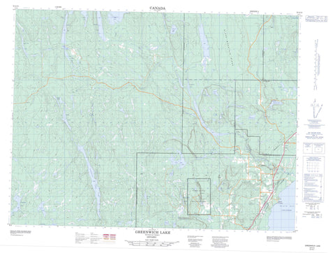
052A15 Greenwich Lake Canada topo map, 1:50,000 scale
052A15 Greenwich Lake NRCAN topographic map.
Includes UTM and GPS geographic coordinates (latitude and longitude). This 50k scale map is suitable for hiking, camping, and exploring, or you could frame it as a wall map.
Printed on-demand using high resolution, on heavy weight and acid free paper, or as an upgrade on a variety of synthetic materials.
Topos available on paper, Waterproof, Poly, or Tyvek. Usually shipping rolled, unless combined with other folded maps in one order.
- Product Number: NRCAN-052A15
- Parent Topo: TOPO-052A
- Map ID also known as: 052A15, 52A15
- Unfolded Size: Approximately 26" high by 36" wide
- Weight (paper map): ca. 55 grams
- Map Type: POD NRCAN Topographic Map
- Map Scale: 1:50,000
- Geographical region: Ontario, Canada
Neighboring Maps:
All neighboring Canadian topo maps are available for sale online at 1:50,000 scale.
Purchase the smaller scale map covering this area: Topo-052A
Spatial coverage:
Topo map sheet 052A15 Greenwich Lake covers the following places:
- Black Bay - Birch Point - Paradise Point - Lower Falls - Upper Falls - Venice Falls - Dorion - Hele - McMaster - Stirling - Abigogami Lake - Ada Lake - Anders Lake - Bat Lake - Beaver Lake - Beaverhide Lake - Belanger Lakes - Billy Lake - Bishops Lake - Brophy Lake - Cavern Lake - Centre Lake - Crow Lake - Current Lake - Davidson Lake - Driftstone Lake - Elbow Lake - Escape Lake - Fall Lake - Fisher Lake - Fowlkes Lakes - Furcate Lake - Golden Gate Lake - Goodmorning Lakes - Grande Lake - Granite Lake - Greenwich Lake - Greer Lake - Gulch Lake - Harris Lake - Harvais Lake - Healey Lake - Hicky Lake - Himdick Lake - Hogan's Lake - Innes Lake - Lac Supérieur - Lake Superior - Little Greer Lake - Little Hicky Lake - Lost Lake - Lower Clearwater Lake - MacDonalds Lake - MacIntosh Lake - Mac's Lake - McLeod Lake - Miner Lake - Moonshine Lake - Moose Lake - Moraine Lake - Nicholson Lake - Nolan Lake - Pickett's Lake - Pine Lake - Pocket Lake - Rat Lake - Ray Lake - Raymore Lake - Ring Lakes - Saltlick Lake - Sandybeach Lake - Scarp Lake - Shale Lake - Sigh Lake - Splatter Lake - Spring Lake - Springlet Lake - Stewart Lake - Thomason Lake - Thompson Lake - Twinredblox Lake - Unknown Lake - Upper Clearwater Lake - Upper Wolf Lake - Venice Lake - Welburn Lake - White Granite Lake - Wiggins Lake - Wolf Lake - Wolfpup Lake - Yea Lake - Black Mountain Ridge - Ogema Mine Mountain - Dorion - Bat Cave Wilderness Area - Black Sturgeon River Provincial Park - Cavern Lake Provincial Nature Reserve - Ouimet Canyon Provincial Nature Reserve - Ouimet Canyon Provincial Park - Abigogami Creek - Beaverhide Creek - Black Sturgeon River - Boulter's Creek - Brophy Creek - Cavern Creek - Coldwater Creek - Current River - Driftstone Creek - Furcate Creek - Greenwich Creek - Greer Creek - Gulch Creek - Hicky Creek - Himdick Creek - Lynch Creek - Mackenzie Creek - McGaw Creek - Moraine Creek - Nicholson Creek - Orchid Creek - Saltlick Creek - Spring Creek - Springlet Creek - Unknown Creek - Wolf River - Wolfpup Creek - Wolfpup Creek - Dorion - Dorion Landing - Ouimet - Ouimet Canyon


