
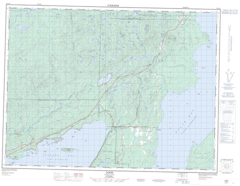
052A10 Loon Canada topo map, 1:50,000 scale
052A10 Loon NRCAN topographic map.
Includes UTM and GPS geographic coordinates (latitude and longitude). This 50k scale map is suitable for hiking, camping, and exploring, or you could frame it as a wall map.
Printed on-demand using high resolution, on heavy weight and acid free paper, or as an upgrade on a variety of synthetic materials.
Topos available on paper, Waterproof, Poly, or Tyvek. Usually shipping rolled, unless combined with other folded maps in one order.
- Product Number: NRCAN-052A10
- Parent Topo: TOPO-052A
- Map ID also known as: 052A10, 52A10
- Unfolded Size: Approximately 26" high by 36" wide
- Weight (paper map): ca. 55 grams
- Map Type: POD NRCAN Topographic Map
- Map Scale: 1:50,000
- Geographical region: Ontario, Canada
Neighboring Maps:
All neighboring Canadian topo maps are available for sale online at 1:50,000 scale.
Purchase the smaller scale map covering this area: Topo-052A
Spatial coverage:
Topo map sheet 052A10 Loon covers the following places:
- Amethyst Bay - Amethyst Harbour - Black Bay - Enterprise Bay - Hornick Cove - Louise Bay - Louse Cove - Mackenzie Bay - Mary Harbour - Moose Bay - Silver Harbour - Thunder Bay - Amethyst Beach - Birch Beach - Crystal Beach - Mackenzie Beach - Moonlight Beach - Sunnyside Beach - Black Bay Peninsula - Conmee Point - Copper Point - Knobel Point - O'Connor Point - Perry Point - Vigars Point - Mackenzie Falls - Dorion - MacGregor - McTavish - Sibley - Bacon Island - Bent Island - Buck Islands - Caribou Island - Honeymoon Island - Kent Islands - Keshkabuon Island - Lambert Island - Lefebvre Island - Mary Island - McEachan Island - Nuttal Island - Nuttall Island - Palette Island - Sour Island - Squaw Island - Summer Island - Allan Lake - Ancliff Lake - Andersen Lake - Anderson Lake - Bare Lake - Bass Lake - Big Pearl Lake - Big Trout Lake - Bigger Lake - Bisect Lake - Bittern Lake - Blende Lake - Breezy Lake - Cannon Lake - Caribou Lake - Clegge Lake - Crag Lake - D'Arcy Lake - Deception Lake - Deer Lake - Demuth Lake - Dick Lake - Donaldson Lake - Dot Pond - Elbow Lake - Escape Lake - Fitzpatrick Lake - Five Minute Lake - Grassy Lake - Gray Lake - Hades Lake - Hilma Lake - Hunters Lakes - Iron Lake - Jeff Lake - Johnnies Lake - Knobel Lake - Lac Supérieur - Lake Superior - Little Hilma Lake - Long Lake - Loon Lake - Lost Lake - Luck Lake - MacIntosh Lake - Mackenzie Lake - Mason Lake - Milkshake Lake - Mirror Lake - Moose Lake - Moosehorn Lake - Mountain Lake - Mutt Lake - Nalla Lake - Paradise Lake - Pass Lake - Pearl Lake - Pearson Lake - Picture Lake - Pike Lake - Pounsford Lake - Pratt Lake - Question Mark Lake - Rainbow Lake - Roll Lake - Samick's Lake - Silver Lake - Single Lake - Sparks Lake - Sprat Lake - Sunset Lake - Sward Lake - Tartan Lake - Tastan Lake - Thruline Lake - Twenty Minute Lake - Twin Lakes - Upper Hunters Lake - Upper Pass Lake - White Horse Lake - Wideman Lake - Wiswell Lake - Young Lake - Plumpuddin Hill - Shuniah - Sleeping Giant Provincial Park - Anderson Creek - Beck Creek - Bittern Creek - Blende River - Cold Creek - Coldwater Creek - D'Arcy Creek - Escape Creek - Hilma Creek - MacIntosh Creek - Mackenzie Creek - Mackenzie River - Pearl River - Portage Creek - Swan Creek - Tastan Creek - Walkinshaw Creek - Welch Creek - Chipman Rock - Temple Rock - Amethyst Harbour - Ancliff - Beck - Bowker - Johnsons Landing - Knudsens Corner - Loon - Mackenzie - Pass Lake - Pearl - Silver Harbour


