
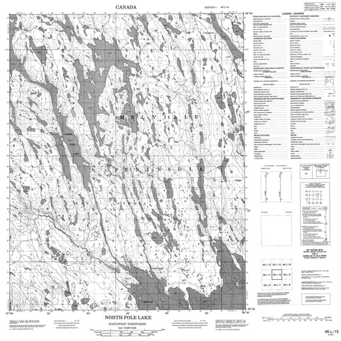
046L10 North Pole Lake Canada topo map, 1:50,000 scale
046L10 North Pole Lake NRCAN topographic map.
Includes UTM and GPS geographic coordinates (latitude and longitude). This 50k scale map is suitable for hiking, camping, and exploring, or you could frame it as a wall map.
Printed on-demand using high resolution, on heavy weight and acid free paper, or as an upgrade on a variety of synthetic materials.
Topos available on paper, Waterproof, Poly, or Tyvek. Usually shipping rolled, unless combined with other folded maps in one order.
- Product Number: NRCAN-046L10
- Parent Topo: TOPO-046L
- Map ID also known as: 046L10, 46L10
- Unfolded Size: Approximately 26" high by 36" wide
- Weight (paper map): ca. 55 grams
- Map Type: POD NRCAN Topographic Map
- Map Scale: 1:50,000
- Geographical region: Nunavut, Canada
Neighboring Maps:
All neighboring Canadian topo maps are available for sale online at 1:50,000 scale.
Purchase the smaller scale map covering this area: Topo-046L
Spatial coverage:
Topo map sheet 046L10 North Pole Lake covers the following places:
- Gibson Cove - Repulse Bay - Melville Peninsula - Niaqunguut Point - Rae Isthmus - Kuunguq Narrows - Qaaniqsiurvik Narrows - Imaligaarjuk Island - Anigorchli Lake - Aniguqliq Lake - Aviluarjuk Lake - Christie Lake - North Pole Lake - Taluarusiq Lake - Talut Lake - Tinujjivik Hill - Aviluarjuk River - North Pole River - Sauniqtujuq Creek - Fort Hope


