
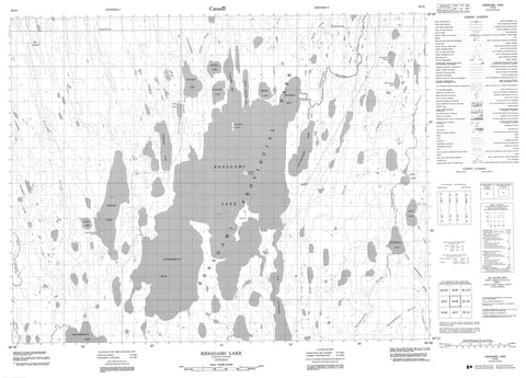
042I08 Kesagami Lake Canada topo map, 1:50,000 scale
042I08 Kesagami Lake NRCAN topographic map.
Includes UTM and GPS geographic coordinates (latitude and longitude). This 50k scale map is suitable for hiking, camping, and exploring, or you could frame it as a wall map.
Printed on-demand using high resolution, on heavy weight and acid free paper, or as an upgrade on a variety of synthetic materials.
Topos available on paper, Waterproof, Poly, or Tyvek. Usually shipping rolled, unless combined with other folded maps in one order.
- Product Number: NRCAN-042I08
- Parent Topo: TOPO-042I
- Map ID also known as: 042I08, 42I8, 42I08
- Unfolded Size: Approximately 26" high by 36" wide
- Weight (paper map): ca. 55 grams
- Map Type: POD NRCAN Topographic Map
- Map Scale: 1:50,000
- Geographical region: Ontario, Canada
Neighboring Maps:
All neighboring Canadian topo maps are available for sale online at 1:50,000 scale.
Purchase the smaller scale map covering this area: Topo-042I
Spatial coverage:
Topo map sheet 042I08 Kesagami Lake covers the following places:
- Kochichi Bay - Ligigami Bay - Little Ligigami Bay - Mishipishiw Bay - Newnham Bay - Opimicon Bay - Opimiskau Bay - Hecla - Big Island - Kochichi Island - Manido Island - Manidosh Island - Windigo Island - Bodell Lake - Edgar Lake - Hidden Lake - Kesagami Lake - Kiyask Lake - Lapigamau Lake - Ligigami Lake - Maskosi Lake - Nipin Lake - Niska Lake - Partridge Lake - Patawagamau Lake - Piyagoskogau Lake - Richards Lake - Seal Lake - Shashiskau Lake - Shashiskau Hills - Kesagami Provincial Park - Amisk Creek - Atick River - Atik River - Bodell River - Kiasko River - Kiasko River - Little Shashiskau River - Mitinigap River - Natogami River - Nettogami River - Partridge River - Patawagamau Creek - Seal River - Shashiskau River - The Elbow


