
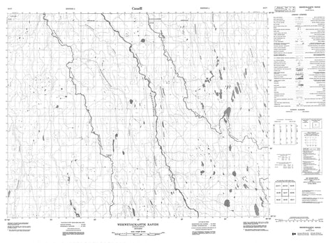
042I07 Wekweyaukastik Rapids Canada topo map, 1:50,000 scale
042I07 Wekweyaukastik Rapids NRCAN topographic map.
Includes UTM and GPS geographic coordinates (latitude and longitude). This 50k scale map is suitable for hiking, camping, and exploring, or you could frame it as a wall map.
Printed on-demand using high resolution, on heavy weight and acid free paper, or as an upgrade on a variety of synthetic materials.
Topos available on paper, Waterproof, Poly, or Tyvek. Usually shipping rolled, unless combined with other folded maps in one order.
- Product Number: NRCAN-042I07
- Parent Topo: TOPO-042I
- Map ID also known as: 042I07, 42I7, 42I07
- Unfolded Size: Approximately 26" high by 36" wide
- Weight (paper map): ca. 55 grams
- Map Type: POD NRCAN Topographic Map
- Map Scale: 1:50,000
- Geographical region: Ontario, Canada
Neighboring Maps:
All neighboring Canadian topo maps are available for sale online at 1:50,000 scale.
Purchase the smaller scale map covering this area: Topo-042I
Spatial coverage:
Topo map sheet 042I07 Wekweyaukastik Rapids covers the following places:
- Waskotim Falls - Yapewatik Ridge - Wakwayowkastic Rapids - Wekweyaukastik Rapids - Kiasko River - Makatemisk Creek - Makistikweyau River - McParlon Creek - Memekweshiwapisk Creek - Mitinigap River - Natogami River - Nettogami River - Oskiskashiw Creek - Oskiskatik Creek - Pegochi River - Sopachigadeo Creek - Stringer Creek - Wakwayowkastic River - Wawagigamau River - Wekweyaukastik River


