
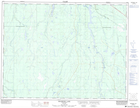
042H04 Bradburn Lake Canada topo map, 1:50,000 scale
042H04 Bradburn Lake NRCAN topographic map.
Includes UTM and GPS geographic coordinates (latitude and longitude). This 50k scale map is suitable for hiking, camping, and exploring, or you could frame it as a wall map.
Printed on-demand using high resolution, on heavy weight and acid free paper, or as an upgrade on a variety of synthetic materials.
Topos available on paper, Waterproof, Poly, or Tyvek. Usually shipping rolled, unless combined with other folded maps in one order.
- Product Number: NRCAN-042H04
- Parent Topo: TOPO-042H
- Map ID also known as: 042H04, 42H4, 42H04
- Unfolded Size: Approximately 26" high by 36" wide
- Weight (paper map): ca. 55 grams
- Map Type: POD NRCAN Topographic Map
- Map Scale: 1:50,000
- Geographical region: Ontario, Canada
Neighboring Maps:
All neighboring Canadian topo maps are available for sale online at 1:50,000 scale.
Purchase the smaller scale map covering this area: Topo-042H
Spatial coverage:
Topo map sheet 042H04 Bradburn Lake covers the following places:
- Island Falls - Yellow Falls - Bradburn - Carmichael - Dargavel - Ford - Haggart - Kendrey - Laidlaw - Mabee - Shackleton - Sydere - Boundary Lake - Bradburn Lake - Carmichael Lake - Departure Lake - Detour Lake - Doe Lake - Footprint Lake - Haggart Lake - Little Bradburn Lake - Peron Lake - Rat Lake - Return Lake - Robin Lake - Sydere Lake - Twofinger Lake - Waterlily Lake - Fauquier-Strickland - Shackleton and Machin - Davis Rapids - Loon Rapids - Bradburn Creek - Carmichael Creek - Dargavel Creek - East Bradburn Creek - East Muskego River - Footprint Creek - Ford Creek - Haggart Creek - Laidlaw Creek - Little Bradburn Creek - Mattagami River - North Muskego River - Poplar Rapids River - Pullen Creek - Rat Creek - Redsucker River - Rivière Mattagami - Rivière Poplar - Rivière Redsucker - South Creek - Sydere Creek - Wellington Creek - White Caribou River - The Forks - Island Portage - Loon Portage - Smooth Rock Falls - Pullen - Smooth Rock


