
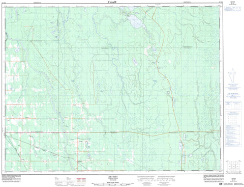
042H02 Abitibi Canada topo map, 1:50,000 scale
042H02 Abitibi NRCAN topographic map.
Includes UTM and GPS geographic coordinates (latitude and longitude). This 50k scale map is suitable for hiking, camping, and exploring, or you could frame it as a wall map.
Printed on-demand using high resolution, on heavy weight and acid free paper, or as an upgrade on a variety of synthetic materials.
Topos available on paper, Waterproof, Poly, or Tyvek. Usually shipping rolled, unless combined with other folded maps in one order.
- Product Number: NRCAN-042H02
- Parent Topo: TOPO-042H
- Map ID also known as: 042H02, 42H2, 42H02
- Unfolded Size: Approximately 26" high by 36" wide
- Weight (paper map): ca. 55 grams
- Map Type: POD NRCAN Topographic Map
- Map Scale: 1:50,000
- Geographical region: Ontario, Canada
Neighboring Maps:
All neighboring Canadian topo maps are available for sale online at 1:50,000 scale.
Purchase the smaller scale map covering this area: Topo-042H
Spatial coverage:
Topo map sheet 042H02 Abitibi covers the following places:
- Blount - Brower - Dempsay - Fox - Glackmeyer - Heighington - Kennedy - Lamarche - Laughton - Stimson - Sweatman - New Post 69A - Réserve indienne New Post 69A - Anibel Lake - Beaver Lake - Bishop Lake - Bluegoose Lake - Bondy Lake - Chin Lake - Cliffside Lake - Coleman Lake - Couple Lake - Cree Lake - Dai Lake - Dora Lake - Dowie Lake - Jack Lake - Jackpine Lake - Lady Lake - Lauzon Lake - Mawibuha Lake - May Lake - McCartney Lake - Newberry Lake - Picker Lake - Sam Lake - Sheen Lake - Sunset Lake - Terminal Lake - Wade Lake - Glackmeyer - Abitibi River - Brower Creek - Chin River - Cliffside Creek - Dempsay Creek - Dora Creek - Foisie River - Heighington Creek - May Creek - Mistango River - Munroe Creek - Paton Creek - Ripple Creek - Rivière Abitibi - Roy Creek - Sam Creek - Sucker River - Wally Creek - West Mistango River - Wright Creek - Cochrane - Abitibi - Brower - Dunning - Florida - Nahma


