
042H01 Mistango Lake Canada topo map, 1:50,000 scale
042H01 Mistango Lake NRCAN topographic map.
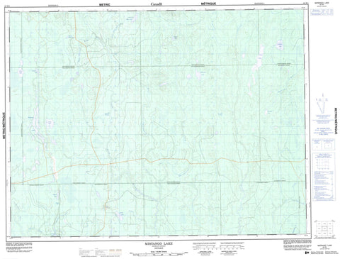
Includes UTM and GPS geographic coordinates (latitude and longitude). This 50k scale map is suitable for hiking, camping, and exploring, or you could frame it as a wall map.
Printed on-demand using high resolution, on heavy weight and acid free paper, or as an upgrade on a variety of synthetic materials.
Topos available on paper, Waterproof, Poly, or Tyvek. Usually shipping rolled, unless combined with other folded maps in one order.
- Product Number: NRCAN-042H01
- Parent Topo: TOPO-042H
- Map ID also known as: 042H01, 42H1, 42H01
- Unfolded Size: Approximately 26" high by 36" wide
- Weight (paper map): ca. 55 grams
- Map Type: POD NRCAN Topographic Map
- Map Scale: 1:50,000
- Geographical region: Ontario, Canada
Neighboring Maps:
All neighboring Canadian topo maps are available for sale online at 1:50,000 scale.
Purchase the smaller scale map covering this area: Topo-042H
Spatial coverage:
Topo map sheet 042H01 Mistango Lake covers the following places:
- Case - Challies - Dempsay - Findlay - Freele - Heighington - Henley - Kenning - Pliny - Raven - Seguin - Steele - Sweatman - Cabin Lake - Circle Lake - Endelman Lake - Endleman Lake - Findlay Lake - Freele Lake - Haddow Lake - Kenning Lake - Little Low Bush Lake - Mistango Lake - Seguin Lake - Sweatman Lake - Trapline Lake - West Low Bush Lake - Whitewater Lake - Wright Lake - Seguin River Conifer and Fens Conservation Reserve - Chin River - Circle River - Findlay Creek - Heighington Creek - Henley Creek - Joe Creek - Kaminisinakwa River - Kenning River - Little Joe Creek - Little Low Bush River - Low Bush River - Mistango River - Seguin River - Sweatman Creek - West Low Bush River - West Whitewater River - Whitewater River


