
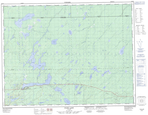
042F13 Flint Lake Canada topo map, 1:50,000 scale
042F13 Flint Lake NRCAN topographic map.
Includes UTM and GPS geographic coordinates (latitude and longitude). This 50k scale map is suitable for hiking, camping, and exploring, or you could frame it as a wall map.
Printed on-demand using high resolution, on heavy weight and acid free paper, or as an upgrade on a variety of synthetic materials.
Topos available on paper, Waterproof, Poly, or Tyvek. Usually shipping rolled, unless combined with other folded maps in one order.
- Product Number: NRCAN-042F13
- Parent Topo: TOPO-042F
- Map ID also known as: 042F13, 42F13
- Unfolded Size: Approximately 26" high by 36" wide
- Weight (paper map): ca. 55 grams
- Map Type: POD NRCAN Topographic Map
- Map Scale: 1:50,000
- Geographical region: Ontario, Canada
Neighboring Maps:
All neighboring Canadian topo maps are available for sale online at 1:50,000 scale.
Purchase the smaller scale map covering this area: Topo-042F
Spatial coverage:
Topo map sheet 042F13 Flint Lake covers the following places:
- Barlow - Bell - Cochrane - Fernow - Goodwin - Henderson - Klotz - Low - Selwyn - Adel Lake - Batise Lake - Bicknell Lake - Chowder Lake - Discovery Lake - Flint Lake - Flynne Lake - Gort Lake - Klotz Lake - Little Bicknell Lake - Little Chowder Lake - Little Selwyn Lake - Little Toad Lake - Lowbell Lake - Nibs Lake - North Pagwachuan Lake - Paglamin Lake - Peanut Lake - Pit Lake - Pyro Lake - Quint Island Lake - Rowena Lake - Secon Lake - Selwyn Lake - Shacabac Lake - Toad Lake - Upper Flynne Lake - Wabigano Lake - Low/Bell Conservation Reserve - Bicknell River - Chowder Creek - Flint River - Flynne Creek - Gort Creek - Hoiles Creek - Little Selwyn Creek - Lowbell Creek - Manafey Creek - Nibs Creek - North Pagwachuan River - Rowena Creek - Selwyn River - Shacabac Creek - Wabigano River


