
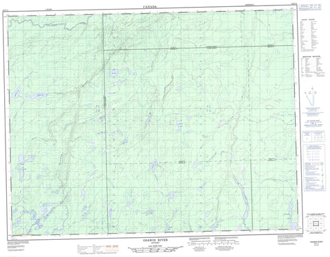
042F11 Osawin River Canada topo map, 1:50,000 scale
042F11 Osawin River NRCAN topographic map.
Includes UTM and GPS geographic coordinates (latitude and longitude). This 50k scale map is suitable for hiking, camping, and exploring, or you could frame it as a wall map.
Printed on-demand using high resolution, on heavy weight and acid free paper, or as an upgrade on a variety of synthetic materials.
Topos available on paper, Waterproof, Poly, or Tyvek. Usually shipping rolled, unless combined with other folded maps in one order.
- Product Number: NRCAN-042F11
- Parent Topo: TOPO-042F
- Map ID also known as: 042F11, 42F11
- Unfolded Size: Approximately 26" high by 36" wide
- Weight (paper map): ca. 55 grams
- Map Type: POD NRCAN Topographic Map
- Map Scale: 1:50,000
- Geographical region: Ontario, Canada
Neighboring Maps:
All neighboring Canadian topo maps are available for sale online at 1:50,000 scale.
Purchase the smaller scale map covering this area: Topo-042F
Spatial coverage:
Topo map sheet 042F11 Osawin River covers the following places:
- Clavet - Cochrane - Downer - Frances - Hiawatha - Kohler - Mercer - Dead Shot Lake - Decoy Lake - Downer Lake - East West Lake - Ebba Lake - Half Shot Lake - Hiawatha Lake - Kalz Lake - Loughlan Lake - McMahon Lake - Mistake Lake - One Shot Lake - Otasawian Lake - Phillip Lake - Pincers Lake - Pody Lake - Sky Lake - Snowflake Lake - Tauno Lake - Thornben Lake - Toch Lake - Turtle Lake - North Thornben Lake Moraine Conservation Reserve - Bad River - Downer Creek - Ebba Creek - Four Mile Creek - Hiawatha Creek - Kalz Creek - Little Fraser River - Loughlan Creek - Mistake River - North Pagwachuan River - Osawin River - Otasawian River - Pagwachuan River - Pincers Creek - Pody Creek - White Otter River


