
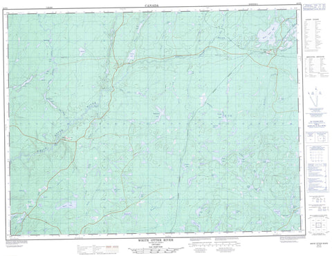
042F05 White Otter River Canada topo map, 1:50,000 scale
042F05 White Otter River NRCAN topographic map.
Includes UTM and GPS geographic coordinates (latitude and longitude). This 50k scale map is suitable for hiking, camping, and exploring, or you could frame it as a wall map.
Printed on-demand using high resolution, on heavy weight and acid free paper, or as an upgrade on a variety of synthetic materials.
Topos available on paper, Waterproof, Poly, or Tyvek. Usually shipping rolled, unless combined with other folded maps in one order.
- Product Number: NRCAN-042F05
- Parent Topo: TOPO-042F
- Map ID also known as: 042F05, 42F5, 42F05
- Unfolded Size: Approximately 26" high by 36" wide
- Weight (paper map): ca. 55 grams
- Map Type: POD NRCAN Topographic Map
- Map Scale: 1:50,000
- Geographical region: Ontario, Canada
Neighboring Maps:
All neighboring Canadian topo maps are available for sale online at 1:50,000 scale.
Purchase the smaller scale map covering this area: Topo-042F
Spatial coverage:
Topo map sheet 042F05 White Otter River covers the following places:
- Adze Lake - Amylou Lake - Anna Lee Lake - Anthony Lake - Appelle Lake - Beavercross Lake - Bevin Lake - Bishop Lake - Bullmoose Lake - Bunny Lake - Burn Lake - Candybar Lake - Chain Lakes - Cow-in-Lake - Davis Lake - Dennie Lake - Dolly Lake - Dot Lake - East Hillsport Lake - Eden Lake - Everest Lake - Faber Lake - Gracie Lake - Halliday Lake - Healy Pond - Hillsport Lake - Hourglass Lake - Ichi Lake - Jim Lake - Katie Lake - Lacasse Lake - Larry Lake - Little Nama Lake - Long Pond Lake - Lutra Lake - MacDonnell Lake - Minnie Lake - Mooseskull Lake - Nifty Lake - Olie Lake - Otter Lake - Patricia Lake - Pearly Lake - Ramsay Lake - Reeves Lake - Robbie Lake - Rockbound Lake - Slingshot Lake - Smoke Lake - Sparky Lake - Thomas Lake - Triangle Lake - White Otter Lake - Fitzgerald Rapids - Skunk Rapids - Beavercross Creek - Black River - Bullmoose Creek - Candybar Creek - Chain Creek - East Hillsport Creek - Everest Creek - Fox Creek - Healy Creek - Hillsport Creek - Lauri Creek - Little Nama Creek - Little White Otter River - Nama Creek - Osawin River - Pond Creek - Reeves Creek - Robbie Creek - Slingshot Creek - Smoke Creek - South Gamsby Creek - South Gowan Creek - Sparky Creek - Stilwell Creek - White Otter River - Hillsport - White Otter


