
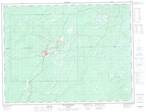
042F04 Manitouwadge Canada topo map, 1:50,000 scale
042F04 Manitouwadge NRCAN topographic map.
Includes UTM and GPS geographic coordinates (latitude and longitude). This 50k scale map is suitable for hiking, camping, and exploring, or you could frame it as a wall map.
Printed on-demand using high resolution, on heavy weight and acid free paper, or as an upgrade on a variety of synthetic materials.
Topos available on paper, Waterproof, Poly, or Tyvek. Usually shipping rolled, unless combined with other folded maps in one order.
- Product Number: NRCAN-042F04
- Parent Topo: TOPO-042F
- Map ID also known as: 042F04, 42F4, 42F04
- Unfolded Size: Approximately 26" high by 36" wide
- Weight (paper map): ca. 55 grams
- Map Type: POD NRCAN Topographic Map
- Map Scale: 1:50,000
- Geographical region: Ontario, Canada
Neighboring Maps:
All neighboring Canadian topo maps are available for sale online at 1:50,000 scale.
Purchase the smaller scale map covering this area: Topo-042F
Spatial coverage:
Topo map sheet 042F04 Manitouwadge covers the following places:
- Cecil - Davies - Gemmell - Gertrude - Grenville - Herbert - Leslie - Mapledoram - Nickle - Roberta - Agam Lake - Agonzon Lake - Banana Lake - Barehead Lake - Billet Lake - Blackman Lake - Blades Lake - Cadawaja Lake - Chicken Farm Lake - Cracknell Lake - Davis Lake - Dead Lake - Dirty Lake - Dorothy Lake - Dragon Lake - Emerald Lake - Faries Lake - Fox Lake - Fred Lake - Gaffhook Lake - Garnet Lake - Garnham Lake - Gaug Lake - Gaugino Lake - Helicopter Lake - Huggard Lake - Ice Cream Lake - Janet Lake - Joe Lake - Kaginu Lake - Kern Lake - Lake A - Larry Lake - Leach Lake - Legace Lake - Little Macutagon Lake - Little Manitouwadge Lake - Little Mose Lake - Loken Lake - Lorne Lake - Lower Trapper Lake - Luckyshoe Lake - Macutagon Ponds - Manitouwadge Lake - Manitouwadge Lake - McGraw Lake - Mickey Lake - Mills Lake - Morley Lake - Mose Lake - Moshkinabi Lake - Munro Lake - One Otter Lake - Peggy Lake - Perry Lake - Poshtar Lake - Pusamakwa Lake - Rabbitskin Lake - Rawluk Lake - Rudder Lake - Russell Lake - Sand Lake - Schist Lake - Shmoo Lake - Slim Lake - Stag Lake - Straight Lake - Swill Lake - Thompson Lake - Tickle Lake - Turcak Lake - Twist Lake - Upper Garnham Lake - Upper Trapper Lake - Wagush Lake - Wowun Lake - Manitouwadge - Banana Creek - Barehead Creek - Black River - Blesky Creek - Cadawaja Creek - Fox Creek - Gaffhook Creek - Gutcher Creek - Ice Cream Creek - Ice Creek - Little Nama Creek - Lorne Creek - Macutagon Creek - McGraw Creek - Morley Creek - Nama Creek - Rabbitskin Creek - Rudder Creek - Russell Creek - Slingshot Creek - Smoke Creek - Waskisk Creek - Barehead - Geco - Manitouwadge - Willroy


