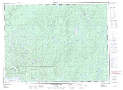
042D16 Goodchild Lake Canada topo map, 1:50,000 scale
042D16 Goodchild Lake NRCAN topographic map.
Includes UTM and GPS geographic coordinates (latitude and longitude). This 50k scale map is suitable for hiking, camping, and exploring, or you could frame it as a wall map.
Printed on-demand using high resolution, on heavy weight and acid free paper, or as an upgrade on a variety of synthetic materials.
Topos available on paper, Waterproof, Poly, or Tyvek. Usually shipping rolled, unless combined with other folded maps in one order.
- Product Number: NRCAN-042D16
- Parent Topo: TOPO-042D
- Map ID also known as: 042D16, 42D16
- Unfolded Size: Approximately 26" high by 36" wide
- Weight (paper map): ca. 55 grams
- Map Type: POD NRCAN Topographic Map
- Map Scale: 1:50,000
- Geographical region: Ontario, Canada
Neighboring Maps:
All neighboring Canadian topo maps are available for sale online at 1:50,000 scale.
Purchase the smaller scale map covering this area: Topo-042D
Spatial coverage:
Topo map sheet 042D16 Goodchild Lake covers the following places:
- Beatty Cove - Carden Cove - Craddock Cove - Peninsula Bay - Peninsula Harbour - Port Munro - Red Sucker Cove - Sturdee Cove - Charleroi Point - Mons Point - 75 - 76 - 77 - Cotte - McCoy - O'Neill - Pic - Glasgow Island - Good Hope Island - Maw Island - Monmouth Island - Alberta Lake - Bamoos Lake - Beggs Lake - Bill Lake - Birston Lake - Boyer Lake - Budall Lake - Cawanogami Lake - Cirrus Lake - Coubran Lake - Craddock Lake - Dewey Lake - Fallen Lake - Fourbay Lake - Geordie Lake - Goodchild Lake - Gowan Lake - Hare Lake - Harriet Lake - Huck Lake - Jim Lake - Kday Lake - Lac Supérieur - Lacobeer Lake - Lake Superior - Lineal Lake - Little Alice Lake - Little Harriet Lake - Little Martinet Lakes - Lola Lake - Long Alice Lake - Lorna Lake - Louis Lake - Madoson Lake - Malpa Lake - Martinet Lake - My Lake - Nellie Lake - North Skipper Lake - Page Lake - Peacock Lake - Pukatawagan Lake - Rag Lakes - Red Sucker Lake - Roccian Lake - Runnalls Lake - Seeley Lake - Shack Lake - Skipper Lake - Sprucetop Lake - Swede Lake - Talus Lake - Teddybear Lake - Terru Lake - Two Finger Lake - Veronica Lake - Willie Lake - Wire Lake - Wolf Camp Lake - Bamoos Mountain - Seeley Mountain - Isko Dewabo Lake Complex Conservation Reserve - Red Sucker Point Provincial Nature Reserve - Abe Creek - Alberta Creek - Angler Creek - Bamoos Creek - Cirrus Creek - Craddock Creek - Fallen Creek - Fourbay Creek - Goodchild Creek - Gowan Creek - Hare Creek - Harriet Creek - Huck Creek - Jim Creek - Joe Creek - Lacobeer Creek - Lineal Creek - Little Joe Creek - Little Martinet Creek - Little Pic River - Little Red Sucker Creek - Martinet Creek - Mink Creek - Mink River - Peacock Creek - Pic River - Pukatawagan Creek - Red Sucker Creek - Red Sucker Creek - Seeley Creek - Skipper Creek - Spruce Creek - Swede Creek - Wire Creek - Marathon


