
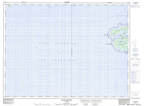
042D11 Slate Islands Canada topo map, 1:50,000 scale
042D11 Slate Islands NRCAN topographic map.
Includes UTM and GPS geographic coordinates (latitude and longitude). This 50k scale map is suitable for hiking, camping, and exploring, or you could frame it as a wall map.
Printed on-demand using high resolution, on heavy weight and acid free paper, or as an upgrade on a variety of synthetic materials.
Topos available on paper, Waterproof, Poly, or Tyvek. Usually shipping rolled, unless combined with other folded maps in one order.
- Product Number: NRCAN-042D11
- Parent Topo: TOPO-042D
- Map ID also known as: 042D11, 42D11
- Unfolded Size: Approximately 26" high by 36" wide
- Weight (paper map): ca. 55 grams
- Map Type: POD NRCAN Topographic Map
- Map Scale: 1:50,000
- Geographical region: Ontario, Canada
Neighboring Maps:
All neighboring Canadian topo maps are available for sale online at 1:50,000 scale.
Purchase the smaller scale map covering this area: Topo-042D
Spatial coverage:
Topo map sheet 042D11 Slate Islands covers the following places:
- Copper Harbour - Golden Slipper - Horace Cove - Jacks Bay - Lambton Cove - Lawrence Bay - McGreevy Harbour - Slate Harbour - Barnard Point - Horace Point - Sunday Point - William Point - Jackfish Channel - Bowes Island - Burk Island - Burk Islet - Cobinosh Island - Edmonds Island - Jacks Island - Jacks Islet - Les Petits Ecrits - McColl Island - Mortimer Island - Patterson Island - Slate Islands - Beaver Dam Lake - Flood Lake - Grass Hill Lake - Hart Lake - Horace Cove Lake - King Lake - Lac Supérieur - Lake Superior - Long Lake - McColl Lake - Mortimer Lake - Pass Lake - Peninsula Lake - Round Lake - Shallow Lake - Terrace Bay - Lake Superior North Shore Conservation Reserve - Slate Islands Provincial Park - Bread Rock - Dahl Shoal - Frank Rock - Kate Rock


