
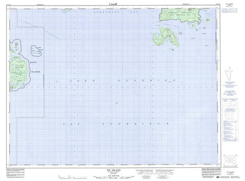
042D10 Pic Island Canada topo map, 1:50,000 scale
042D10 Pic Island NRCAN topographic map.
Includes UTM and GPS geographic coordinates (latitude and longitude). This 50k scale map is suitable for hiking, camping, and exploring, or you could frame it as a wall map.
Printed on-demand using high resolution, on heavy weight and acid free paper, or as an upgrade on a variety of synthetic materials.
Topos available on paper, Waterproof, Poly, or Tyvek. Usually shipping rolled, unless combined with other folded maps in one order.
- Product Number: NRCAN-042D10
- Parent Topo: TOPO-042D
- Map ID also known as: 042D10, 42D10
- Unfolded Size: Approximately 26" high by 36" wide
- Weight (paper map): ca. 55 grams
- Map Type: POD NRCAN Topographic Map
- Map Scale: 1:50,000
- Geographical region: Ontario, Canada
Neighboring Maps:
All neighboring Canadian topo maps are available for sale online at 1:50,000 scale.
Purchase the smaller scale map covering this area: Topo-042D
Spatial coverage:
Topo map sheet 042D10 Pic Island covers the following places:
- Ashburton Bay - Bottle Cove - Cork Cove - Devils Cove - Johnson Harbour - McGreevy Harbour - Peninsula Bay - Port Coldwell - South Bay - Sunday Harbour - Windy Bay - Bottle Point - Coldwell Peninsula - Guse Point - Lone Pine Point - Moss Point - Devils Gap - Jackfish Channel - Thompson Channel - Allouez Island - Cape Island - Cape Islet - Cove Island - Delaute Island - Detention Island - Dupuis Island - Fish Island - Fish Islet - Foster Island - François Island - François Islet - Leadman Island - Leadman Islands - McDonald Island - McDonald Islands - Mortimer Island - Patterson Island - Pear Island - Pearl Island - Pic Island - Shell Island - Slate Islands - Spar Island - Spar Islet - Sullivan Island - Duck Lake - Fenn Lake - Floating Island Lake - Heather Lake - High Dam Lake - Lac Supérieur - Lake Superior - Logging Camp Lake - Long Lake - Messy Lake - Mud Lake - No Name Lake - North Bladder Lake - North Twin Lake - South Bladder Lake - South Twin Lake - Swim Lake - Triangle Lake - Two Bog Lake - Veronica Lake - Mount Premier - Premier Mountain - Terrace Bay - Neys Provincial Park - Slate Islands Provincial Park - Black Rock - Fred Shoal - Hale Rock - McKay Rocks - Nicoll Shoal - Slyboots Rock - Marathon


