
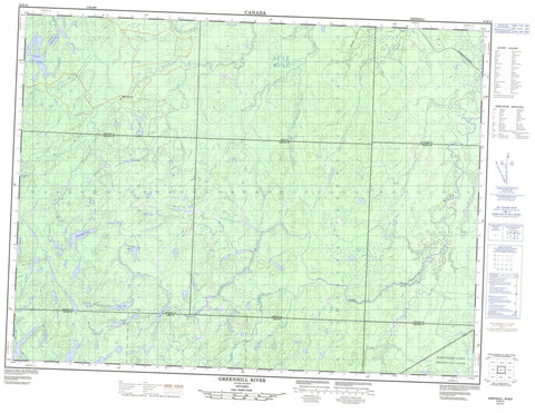
042B12 Greenhill River Canada topo map, 1:50,000 scale
042B12 Greenhill River NRCAN topographic map.
Includes UTM and GPS geographic coordinates (latitude and longitude). This 50k scale map is suitable for hiking, camping, and exploring, or you could frame it as a wall map.
Printed on-demand using high resolution, on heavy weight and acid free paper, or as an upgrade on a variety of synthetic materials.
Topos available on paper, Waterproof, Poly, or Tyvek. Usually shipping rolled, unless combined with other folded maps in one order.
- Product Number: NRCAN-042B12
- Parent Topo: TOPO-042B
- Map ID also known as: 042B12, 42B12
- Unfolded Size: Approximately 26" high by 36" wide
- Weight (paper map): ca. 55 grams
- Map Type: POD NRCAN Topographic Map
- Map Scale: 1:50,000
- Geographical region: Ontario, Canada
Neighboring Maps:
All neighboring Canadian topo maps are available for sale online at 1:50,000 scale.
Purchase the smaller scale map covering this area: Topo-042B
Spatial coverage:
Topo map sheet 042B12 Greenhill River covers the following places:
- Reva Falls - Abigo - Amik - Conking - Hayward - Hook - Kildare - Makawa - Mildred - Nebotik - Winget - Amik Lake - Fire Lake - Greenhill Lake - Makadawa Lake - Mildred Lake - Timia Lake - Winjiget Lake - Woodosgoon Lake - Missinaibi Provincial Park - Biron Rapids - Dog River - Fire River - Gay Creek - Greenhill River - Little Nebotik River - Mildred Creek - Nebotik River - South Greenhill River - Timia Creek - Winjiget Creek - Woodosgoon Creek


