
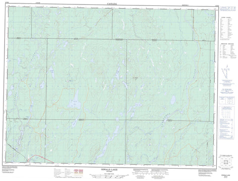
042B08 Oswald Lake Canada topo map, 1:50,000 scale
042B08 Oswald Lake NRCAN topographic map.
Includes UTM and GPS geographic coordinates (latitude and longitude). This 50k scale map is suitable for hiking, camping, and exploring, or you could frame it as a wall map.
Printed on-demand using high resolution, on heavy weight and acid free paper, or as an upgrade on a variety of synthetic materials.
Topos available on paper, Waterproof, Poly, or Tyvek. Usually shipping rolled, unless combined with other folded maps in one order.
- Product Number: NRCAN-042B08
- Parent Topo: TOPO-042B
- Map ID also known as: 042B08, 42B8, 42B08
- Unfolded Size: Approximately 26" high by 36" wide
- Weight (paper map): ca. 55 grams
- Map Type: POD NRCAN Topographic Map
- Map Scale: 1:50,000
- Geographical region: Ontario, Canada
Neighboring Maps:
All neighboring Canadian topo maps are available for sale online at 1:50,000 scale.
Purchase the smaller scale map covering this area: Topo-042B
Spatial coverage:
Topo map sheet 042B08 Oswald Lake covers the following places:
- Cochrane - Enid - Foleyet - Frey - Melrose - Muskego - Nova - Oates - Ossin - Oswald - Reeves - Sewell - Strachan - Beattie Lake - Beaudry Lake - Biting Lake - Bromley Lake - Deep Lake - Green Lake - Hogsback Lake - Laundry Lake - Little Oates Lake - Melrose Lake - Moore Lake - Oates Lake - Oswald Lake - Pike Lake - Pilon Lake - Sand Lake - Scorch Lake - South Scorch Lake - Melrose Tower Hill - Camus Rapids - The Chutes - Biting Creek - Bryce Creek - Groundhog River - Heart Creek - Ivanhoe River - Ivanhoe River (New Channel) - Ivanhoe River (Old Channel) - Melrose Creek - Moonshine Creek - Nat River - Oates Creek - Osishana Creek - Oswald Creek - Rivière Groundhog - Scorch Creek - Shawmere River - South Scorch Creek - Vimy Creek - West Crawford Creek - West Crawford River


