
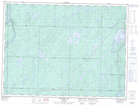
042B02 Ivanhoe Lake Canada topo map, 1:50,000 scale
042B02 Ivanhoe Lake NRCAN topographic map.
Includes UTM and GPS geographic coordinates (latitude and longitude). This 50k scale map is suitable for hiking, camping, and exploring, or you could frame it as a wall map.
Printed on-demand using high resolution, on heavy weight and acid free paper, or as an upgrade on a variety of synthetic materials.
Topos available on paper, Waterproof, Poly, or Tyvek. Usually shipping rolled, unless combined with other folded maps in one order.
- Product Number: NRCAN-042B02
- Parent Topo: TOPO-042B
- Map ID also known as: 042B02, 42B2, 42B02
- Unfolded Size: Approximately 26" high by 36" wide
- Weight (paper map): ca. 55 grams
- Map Type: POD NRCAN Topographic Map
- Map Scale: 1:50,000
- Geographical region: Ontario, Canada
Neighboring Maps:
All neighboring Canadian topo maps are available for sale online at 1:50,000 scale.
Purchase the smaller scale map covering this area: Topo-042B
Spatial coverage:
Topo map sheet 042B02 Ivanhoe Lake covers the following places:
- Old Channel - Cooper Falls - Alcorn - Biggs - Carty - Chewett - Collins - Copperfield - Evans - Foleyet - Hellyer - Ivanhoe - Lemoine - Lincoln - Murdock - Paul - Pinogami - Sandy - Silk - Warren - Whigham - First Island - Hinton Island - Klose Island - Second Island - Biggs Lake - Birch Lake - Blackwater Lake - Carty Lake - Catcher Lake - East Carty Lake - Frog Lake - Grassy Lake - Gullystone Lake - Harold Lake - Ivanhoe Lake - Lemoine Lake - Libby Lake - Linekar Lake - Lita Lake - Little Lemoine Lake - Murdock Lake - Norfolk Lake - Offset Lake - Reneé Lake - Renée Lake - Saw Lake - Shallow Lake - Sloan Lake - Sloans Lake - Tom Smith Lake - Twin Lakes - Wakagami Lake - Westmeath Lake - Whigham Lake - White Owl Lake - Chapleau-Nemegosenda River Provincial Park - Ivanhoe Lake Provincial Park - Ivanhoe River Conservation Reserve - Carty Creek - Gullystone Creek - Heart Creek - Ivanhoe River - Ivanhoe River (New Channel) - Ivanhoe River (Old Channel) - Jackpine Creek - Little Shawmere River - Muskego River - Nemegosenda River - Paul Creek - Rivière Nemegosenda - Shawmere River - Sloans Creek - Westmeath Creek - Hastie Shoal


