
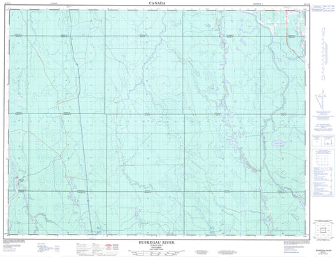
042A14 Buskegau River Canada topo map, 1:50,000 scale
042A14 Buskegau River NRCAN topographic map.
Includes UTM and GPS geographic coordinates (latitude and longitude). This 50k scale map is suitable for hiking, camping, and exploring, or you could frame it as a wall map.
Printed on-demand using high resolution, on heavy weight and acid free paper, or as an upgrade on a variety of synthetic materials.
Topos available on paper, Waterproof, Poly, or Tyvek. Usually shipping rolled, unless combined with other folded maps in one order.
- Product Number: NRCAN-042A14
- Parent Topo: TOPO-042A
- Map ID also known as: 042A14, 42A14
- Unfolded Size: Approximately 26" high by 36" wide
- Weight (paper map): ca. 55 grams
- Map Type: POD NRCAN Topographic Map
- Map Scale: 1:50,000
- Geographical region: Ontario, Canada
Neighboring Maps:
All neighboring Canadian topo maps are available for sale online at 1:50,000 scale.
Purchase the smaller scale map covering this area: Topo-042A
Spatial coverage:
Topo map sheet 042A14 Buskegau River covers the following places:
- High Falls - Sturgeon Falls - Wanatango Falls - Aubin - Beck - Carnegie - Cochrane - Crawford - Dargavel - Duff - Fournier - Hanna - Lamarche - Lennox - Little - Lucas - Mahaffy - Mann - Nesbitt - Ottaway - Prosser - Reaume - Reid - Timiskaming - Tully - Belisle Lake - Beth Lake - Carman Lake - Crawfish Lake - Crawfish Lakes - Crown Lake - Davis Lake - Evelyn Lake - Gerry Lake - Hall Lake - Jack Lake - Little Lake - Martin Lake - Mel Lake - Pickerel Lake - Prosser Lake - Reaume Lake - Sawmill Lake - Sutherland Lake - Theressa Lake - Zed Lake - Glackmeyer - Mahaffy Township Ground Moraine Conservation Reserve - Three Rapids - Buskegau River - Devonshire Creek - Flint Creek - Frederick House River - Hanna Creek - Jocko Creek - Kidd Creek - Lennox Creek - Mattagami River - Nesbitt Creek - North Driftwood River - Pickerel Creek - Prosser Creek - Reaume Creek - Rivière Mattagami - West Buskegau River - Wicklow Creek - Wicklow River - Cochrane - Lower Sturgeon - Sturgeon Falls


