
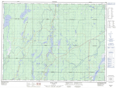
042A05 Dana Lake Canada topo map, 1:50,000 scale
042A05 Dana Lake NRCAN topographic map.
Includes UTM and GPS geographic coordinates (latitude and longitude). This 50k scale map is suitable for hiking, camping, and exploring, or you could frame it as a wall map.
Printed on-demand using high resolution, on heavy weight and acid free paper, or as an upgrade on a variety of synthetic materials.
Topos available on paper, Waterproof, Poly, or Tyvek. Usually shipping rolled, unless combined with other folded maps in one order.
- Product Number: NRCAN-042A05
- Parent Topo: TOPO-042A
- Map ID also known as: 042A05, 42A5, 42A05
- Unfolded Size: Approximately 26" high by 36" wide
- Weight (paper map): ca. 55 grams
- Map Type: POD NRCAN Topographic Map
- Map Scale: 1:50,000
- Geographical region: Ontario, Canada
Neighboring Maps:
All neighboring Canadian topo maps are available for sale online at 1:50,000 scale.
Purchase the smaller scale map covering this area: Topo-042A
Spatial coverage:
Topo map sheet 042A05 Dana Lake covers the following places:
- Timmins - Timmins-Porcupine - Bristol - Carscallen - Cochrane - Denton - Enid - Frey - Godfrey - Hillary - Keefer - Massey - McKeown - Reynolds - Sewell - Thorneloe - Timiskaming - Turnbull - Whitesides - Driftwood Island - Aconda Lake - Bean Lake - Big Gull Lake - Bigmarsh Lake - Boom Lake - Bristol Lake - Bromley Lake - Camp Six Lake - Carlton Lake - Carscallen Lake - Cosgrove Lake - Crest Lake - Dana Lake - Denton Lake - Ellery Lake - Forbes Lake - Frey Lake - Godfrey Lake - Godon Lake - Gull Lakes - Gunther Lake - Harriet Lake - Hoof Lake - Janet Lake - Jordan Lake - Jowsey Lake - Keefer Lake - Keeley Lake - Kenogamissi Lake - Levalley Lake - Little Frey Lake - Little Gull Lake - Little Star Lake - Lundberg Lake - Luquer Lake - Mahoney Lake - McDonell Lake - Norris Lake - North Lake - Opishing Lake - Parliment Lake - Pirsson Lake - Pup Lakes - Rankin Lake - Sly Lake - Star Lake - Star Lake - Tortoise Lake - Wallingford Lake - Warren Lake - Weisman Lake - Weston Lake - Whitesides Lake - Lemon Hill - Mountjoy - Tisdale - Whitney - Dana-Jowsey Lakes Provincial Park - Tatachikapika River Plain Conservation Reserve - Bristol Creek - Crawford River - Cripple Creek - Frey Creek - Godfrey Creek - Godon Creek - Godon Creek - Harriet Creek - Kamiskotia River - Keefer Creek - Kelly Creek - Left Creek - Little Enid Creek - Little Waterhen Creek - Lostdog Creek - Mahoney Creek - Mattagami River - Nat River - Parliment Creek - Rivière Mattagami - Robb Creek - Sewell Creek - Star Creek - Tatachikapika River - Thunder Creek - Twentysix Mile Creek - Twentythree Mile Creek - Weisman Creek - West Crawford Creek - West Crawford River - The Cache


