
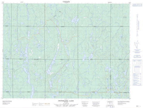
042A03 Peterlong Lake Canada topo map, 1:50,000 scale
042A03 Peterlong Lake NRCAN topographic map.
Includes UTM and GPS geographic coordinates (latitude and longitude). This 50k scale map is suitable for hiking, camping, and exploring, or you could frame it as a wall map.
Printed on-demand using high resolution, on heavy weight and acid free paper, or as an upgrade on a variety of synthetic materials.
Topos available on paper, Waterproof, Poly, or Tyvek. Usually shipping rolled, unless combined with other folded maps in one order.
- Product Number: NRCAN-042A03
- Parent Topo: TOPO-042A
- Map ID also known as: 042A03, 42A3, 42A03
- Unfolded Size: Approximately 26" high by 36" wide
- Weight (paper map): ca. 55 grams
- Map Type: POD NRCAN Topographic Map
- Map Scale: 1:50,000
- Geographical region: Ontario, Canada
Neighboring Maps:
All neighboring Canadian topo maps are available for sale online at 1:50,000 scale.
Purchase the smaller scale map covering this area: Topo-042A
Spatial coverage:
Topo map sheet 042A03 Peterlong Lake covers the following places:
- Mica Bay - Bartlett - Beemer - Cleaver - Douglas - Doyle - English - Fallon - Fripp - Geikie - Gouin - Hassard - Hincks - Hutt - McArthur - McKeown - Moher - Montrose - Musgrove - Semple - Timiskaming - Zavitz - Austen Lake - Banana Lake - Bartlett Lake - Boomerang Lake - Bruce Lake - Canoeshed Lake - Chesterfield Lakes - Chesterfield Lakes - Clayton Lake - Dark Lake - Dead Dog Lake - Dexter Lake - Dokis Lake - English Lake - Ferrier Lake - Flag Lake - Forks Lake - Geikie Lake - Geikie Lakes - Hassard Lake - Hincks Lake - Hopkins Lake - Kapiskong Lake - Kitchiming Lake - Little Esker Lake - Little Forks Lake - Little Night Hawk Lake - Little Nighthawk Lake - Little Whitefish Lake - Lower Chesterfield Lake - Lower Forks Lake - Lower Michegama Lake - Luke Lake - Marceau Lake - McArthur Lake - Mica Lake - Moray Lake - Mountjoy Lake - Musgrove Lake - Muskasenda Lake - Muskrat Lake - Papakomeka Lake - Peterlong Lake - Quartz Lake - Redwing Lake - Scott Lake - Scott Lakes - Semple Lake - Splitrock Lake - Steve Lake - Swamp Lake - Telluride Lake - Trayes Lake - Triple Lake - Upper Chesterfield Lake - Upper Michegama Lake - Wabiasin Lake - West Night Hawk Lake - West Nighthawk Lake - Whywhy Lake - Rat Mountain - Serpentine Mountain - Bartlett Creek - Bruce Creek - Chesterfield Creek - Dexter Creek - Esker Creek - Ferrier Creek - Forks River - Geikie Creek - Grassy River - Hassard Creek - Hutt Creek - Kitchiming Creek - Little Forks Creek - Little Night Hawk River - Little Nighthawk River - Little Whitefish River - McArthur Creek - Michegama Creek - Moher Creek - Moray Creek - Mountjoy River - Musgrove Creek - Night Hawk River - Nighthawk River - Redstone River - Redwing Creek - Splitrock River - Wabiasin Creek - Zavitz Creek


