
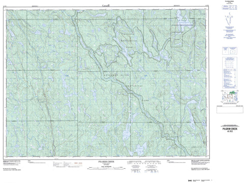
041P02 Pilgrim Creek Canada topo map, 1:50,000 scale
041P02 Pilgrim Creek NRCAN topographic map.
Includes UTM and GPS geographic coordinates (latitude and longitude). This 50k scale map is suitable for hiking, camping, and exploring, or you could frame it as a wall map.
Printed on-demand using high resolution, on heavy weight and acid free paper, or as an upgrade on a variety of synthetic materials.
Topos available on paper, Waterproof, Poly, or Tyvek. Usually shipping rolled, unless combined with other folded maps in one order.
- Product Number: NRCAN-041P02
- Parent Topo: TOPO-041P
- Map ID also known as: 041P02, 41P2, 41P02
- Unfolded Size: Approximately 26" high by 36" wide
- Weight (paper map): ca. 55 grams
- Map Type: POD NRCAN Topographic Map
- Map Scale: 1:50,000
- Geographical region: Ontario, Canada
Neighboring Maps:
All neighboring Canadian topo maps are available for sale online at 1:50,000 scale.
Purchase the smaller scale map covering this area: Topo-041P
Spatial coverage:
Topo map sheet 041P02 Pilgrim Creek covers the following places:
- Kettle Falls - Twin Falls - Acadia - Beresford - Clary - Cotton - DeMorest - Dundee - Ellis - Grigg - Haentschel - Howey - Marconi - McLeod - Parker - Seagram - Selby - Selkirk - Stobie - Stull - Turner - Valin - Ames Lake - Apollo Lake - Banana Lake - Barron Lake - Bass Lake - Beaver Lake - Beavertooth Lake - Benner Lake - Beresford Lake - Big Lynx Lake - Big Marconi Lake - Bill Lake - Bluesucker Lake - Bowland Lake - Brennan Lake - Bull Lake - Bus Lake - Camp Seven Lake - Carl Lake - Cedar Lake - Centre Lake - Chain of Lakes - Dave Lake - Dougherty Lake - Eaglenest Lake - Einar Lake - Elbow Lake - First Lake - Florence Lake - Frederick Lake - Gail Lake - Ghoul Lake - Gourlay Lake - Grigg Lake - Haentschel Lake - Hamlow Lake - Hartman Lake - Hazel Lake - Keith Lake - Knight Lake - Laundrie Lake - Lawrence Lake - Limit Lake - Linger Lake - Lingo Lake - Little Bull Lake - Little Laundrie Lake - Little Lynx Lake - Little Marconi Lake - Long Lake - Lookout Lake - Lower High Lake - Lyman Lake - Maggie Lake - Marcia Lake - Marconi Lake - Marsh Lake - Muck Lake - Mudchannel Lake - Mudding Lake - Narrows Lake - Neault Lake - North Twin Lake - Nowater Lake - Nox Lake - O Lake - Parsons Lake - Paul Lake - Perkins Lake - Pilgrim Lake - Pinetorch Lake - Pole Line Lake - Puddle Lake - Rainy Lake - Ray Lake - Regan Lake - Renfrew Lake - River Lake - Rodd Lake - Samson Lake - Sandspit Lake - Seagram Lake - Second Lake - Selkirk Lake - Shiner Lake - Solace Lake - South Twin Lake - Stewart Lake - Stobie Lake - Stouffer Lake - Sunk Lake - Third Lake - Tillie Lake - Trailer Lake - Upper High Lake - Yorston Lake - Lookout Hill - Jim Edwards Lake Conservation Reserve - Lady Evelyn-Smoothwater Provincial Park - Sturgeon River Provincial Park - Ames Creek - Balsam Creek - Banana Creek - Bowland River - Burwash Creek - Bus Creek - Dougherty Creek - Fly Creek - Haentschel Creek - Knight Creek - Little Marconi Creek - Marconi Creek - Marconi Creek - Nasmith Creek - Neault Creek - Pilgrim Creek - Pinetorch Creek - Rivière Wanapitei - Selkirk Creek - Solace Creek - Stobie Creek - Stull Creek - Sturgeon River - Tillie Creek - Upper Pilgrim Creek - Wanapitei River - Yorston River


