
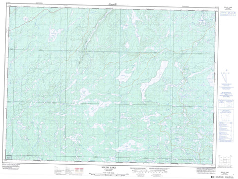
041O15 Rollo Lake Canada topo map, 1:50,000 scale
041O15 Rollo Lake NRCAN topographic map.
Includes UTM and GPS geographic coordinates (latitude and longitude). This 50k scale map is suitable for hiking, camping, and exploring, or you could frame it as a wall map.
Printed on-demand using high resolution, on heavy weight and acid free paper, or as an upgrade on a variety of synthetic materials.
Topos available on paper, Waterproof, Poly, or Tyvek. Usually shipping rolled, unless combined with other folded maps in one order.
- Product Number: NRCAN-041O15
- Parent Topo: TOPO-041O
- Map ID also known as: 041O15, 41O15
- Unfolded Size: Approximately 26" high by 36" wide
- Weight (paper map): ca. 55 grams
- Map Type: POD NRCAN Topographic Map
- Map Scale: 1:50,000
- Geographical region: Ontario, Canada
Neighboring Maps:
All neighboring Canadian topo maps are available for sale online at 1:50,000 scale.
Purchase the smaller scale map covering this area: Topo-041O
Spatial coverage:
Topo map sheet 041O15 Rollo Lake covers the following places:
- Biggs - Chewett - Coppell - Crockett - Cunningham - Denyes - Dore - Gamey - Garnet - Greenlaw - Halcrow - Hellyer - Lackner - Mountbatten - Raney - Rollo - Sandy - Swayze - Tooms - Whigham - Mountbatten Indian Reserve 76A - Réserve indienne Mountbatten 76A - Ackerman Lake - Allen Lake - Bain Lake - Barty Lake - Bayly Lake - Bent Lake - Biggs Lake - Brett Lake - Carmen Lake - Coppell Lake - Cree Lake - Crossley Lake - Denyes Lake - Dyment Lake - Elvy Lake - Engineer Lake - Freymond Lake - Gertrude Lake - Graceful Lake - Gravelridge Lake - Halcrow Lake - Hanson Lake - Hellyer Lake - Hewson Lake - Ivanhoe Lake - Jean Lake - Jog Lake - Kenty Lake - Lee Lake - Lesage Lake - Little Biggs Lake - Little Ridley Lake - Longcome Lake - Marta Lake - Mills Lake - Oscar Lake - Paul Lake - Pell Lake - Pepperbell Lake - Raney Lake - Ransom Lake - Ridley Lake - Rollo Lake - Sandy Lake - Saucer Lake - Sawbill Lake - Saxton Lake - Shunsby Lake - Squash Lake - Swayze Lake - Sylvanite Lake - Thedan Lake - Topboot Lake - Vice Lake - Whigham Lake - Yarwood Lake - Yohannson Lake - Bain Creek - Biggs Creek - Coppell Creek - Cree Creek - Denyes Creek - Dyment Creek - Engineer Creek - Halcrow Creek - Hellyer Creek - Ivanhoe River - Kenty Creek - Kinogama River - Lesage Creek - Marl Creek - Muskego River - Ridley Creek - Shawmere River - Swayze River - Sylvanite Creek - Thedan Creek - Wakami River - Westmeath Creek


