
040I14 St Thomas Canada topo map, 1:50,000 scale
040I14 St Thomas NRCAN topographic map.
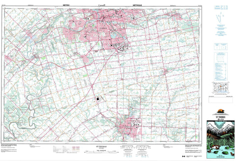
Includes UTM and GPS geographic coordinates (latitude and longitude). This 50k scale map is suitable for hiking, camping, and exploring, or you could frame it as a wall map.
Printed on-demand using high resolution, on heavy weight and acid free paper, or as an upgrade on a variety of synthetic materials.
Topos available on paper, Waterproof, Poly, or Tyvek. Usually shipping rolled, unless combined with other folded maps in one order.
- Product Number: NRCAN-040I14
- Parent Topo: TOPO-040I
- Map ID also known as: 040I14, 40I14
- Unfolded Size: Approximately 26" high by 36" wide
- Weight (paper map): ca. 55 grams
- Map Type: POD NRCAN Topographic Map
- Map Scale: 1:50,000
- Geographical region: Ontario, Canada
Neighboring Maps:
All neighboring Canadian topo maps are available for sale online at 1:50,000 scale.
Purchase the smaller scale map covering this area: Topo-040I
Spatial coverage:
Topo map sheet 040I14 St Thomas covers the following places:
- London - St. Thomas - Caradoc - Delaware - Dorchester - Dunwich - Ekfrid - Elgin - Lobo - London - Malahide - Middlesex - North Dorchester - South Dorchester - Southwold - Westminster - Yarmouth - Ashton Drain - Caddy-Bott Drain - Hawes Drain - Jenkins Drain - Caradoc Indian Reserve 42 - Chippewas of the Thames First Nation 42 - Chippewas of the Thames First Nation Indian Reserve 42 - Muncey Indian Reserve 1 - Munsee-Delaware Nation 1 - Munsee-Delaware Nation Indian Reserve 1 - Oneida 41 - Oneida Indian Reserve 41 - Réserve indienne Caradoc 42 - Réserve indienne Chippewas of the Thames First Nation 42 - Réserve indienne Muncey 1 - Réserve indienne Munsee-Delaware Nation 1 - Réserve indienne Oneida 41 - Beattie Pond - Dingman Lakes - Foster Ponds - Mill Pond - Mud Lakes - Pinafore Lake - Pond Mills - Spettigues Pond - Tennants Pond - The Cove - Tumblesons Pond - Walker Ponds - Walkers Pond - Westminster Ponds - Pike's Peak - Elgin - Middlesex - Caradoc - Central Elgin - Central Elgin - Delaware - Dorchester - Dorchester - Dunwich - Dutton/Dunwich - Ekfrid - Lobo - London - Malahide - Middlesex Centre - Mosa - Nissouri - North Dorchester - South Dorchester - Southwest Middlesex - Southwold - Southwold - Strathroy-Caradoc - Thames Centre - West Nissouri - Yarmouth - Komoka Provincial Park - Springwater Conservation Area - Baird Creek - Bradley Creek - Bradleys Creek - Caddy Creek - Catfish Creek - Dawson Creek - Dingman Creek - Dodd Creek - East Catfish Creek - Gold Creek - Hogg Creek - Kettle Creek - Nineteen Creek - North Thames River - Oxbow Creek - Pottersburg Creek - Rivière Thames - Salt Creek - Sharon Creek - Spring Creek - Springers Creek - Thames River - Turkey Creek - Waubuno Creek - West Catfish Creek - Westminster - Westminster - Westminster - Westminster - Bairds - Belmont - Berkshire Village - Brockley - Byron - Chelsea Green - Christina - Cleardale - Crossley Hunter - Delaware - Delaware West - Derwent - Dorchester - Fairmont - Frome - Gladstone - Glanworth - Glen Cairn Woods - Glendale - Harrietsville - Harrietsville Station - Hubrey - Hyde Park - Hyde Park - Hyde Park Corner - Hyde Park Crossing - Kensal Park - Kensall Park - Kilworth - Kilworth Bridge - Kingsmill - Komoka - Komoka Station - Lambeth - Lawrence Station - Littlewood - Lobo - Lobo Siding - Lockwood Park - Lyndale - Lynhurst - Manor Park - Mapleton - Melrose - Middlemarch - Middlemiss - Mossley - Mount Brydges - Muncey - Nelson Park - New Sarum - Nilestown - Oakridge Acres - Oakridge Park - O'Dell - Orchard Park - Orwell - Oxford Park - Paynes - Paynes Mills - Pond Mills - Pottersburg - Scottsville - Sharon - Southcrest Estates - Southdale - Southwold - Talbotville Royal - Tempo - Thames River Siding - The Gore - Trafalgar Heights - University Heights - Westminster - Westmount - White Oak - Wilton Grove - Woodbank - Yarmouth Centre - Dorchester Swamp


