
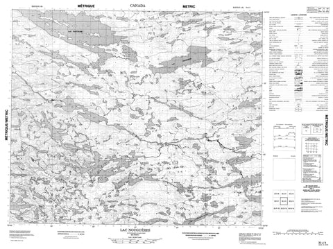
033J04 Lac Nougueres Canada topo map, 1:50,000 scale
033J04 Lac Nougueres NRCAN topographic map.
Includes UTM and GPS geographic coordinates (latitude and longitude). This 50k scale map is suitable for hiking, camping, and exploring, or you could frame it as a wall map.
Printed on-demand using high resolution, on heavy weight and acid free paper, or as an upgrade on a variety of synthetic materials.
Topos available on paper, Waterproof, Poly, or Tyvek. Usually shipping rolled, unless combined with other folded maps in one order.
- Product Number: NRCAN-033J04
- Parent Topo: TOPO-033J
- Map ID also known as: 033J04, 33J4, 33J04
- Unfolded Size: Approximately 26" high by 36" wide
- Weight (paper map): ca. 55 grams
- Map Type: POD NRCAN Topographic Map
- Map Scale: 1:50,000
- Geographical region: Quebec, Canada
Neighboring Maps:
All neighboring Canadian topo maps are available for sale online at 1:50,000 scale.
Purchase the smaller scale map covering this area: Topo-033J
Spatial coverage:
Topo map sheet 033J04 Lac Nougueres covers the following places:
- Île Mistinikw Sakahikan - Lac Amichikukamaskach - Lac Amwakuskach - Lac Anaupunanusich - Lac Apimichikamach - Lac de la Montagne du Pin - Lac Kapiskukamisi - Lac Kauskatikakamaw - Lac Kukamasach Awiyuch - Lac Kukamaw - Lac Nouguères - Lac Patukami - Lac Pine Mountain - Lac Yatisakus - Rapides Pichikukwakan Akutipapuit Sipi - Rivière Griault - Ruisseau Apiyaumutausich - Ruisseau Maschakustikw


