
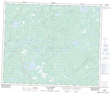
033F03 Lac Langelier Canada topo map, 1:50,000 scale
033F03 Lac Langelier NRCAN topographic map.
Includes UTM and GPS geographic coordinates (latitude and longitude). This 50k scale map is suitable for hiking, camping, and exploring, or you could frame it as a wall map.
Printed on-demand using high resolution, on heavy weight and acid free paper, or as an upgrade on a variety of synthetic materials.
Topos available on paper, Waterproof, Poly, or Tyvek. Usually shipping rolled, unless combined with other folded maps in one order.
- Product Number: NRCAN-033F03
- Parent Topo: TOPO-033F
- Map ID also known as: 033F03, 33F3, 33F03
- Unfolded Size: Approximately 26" high by 36" wide
- Weight (paper map): ca. 55 grams
- Map Type: POD NRCAN Topographic Map
- Map Scale: 1:50,000
- Geographical region: Quebec, Canada
Neighboring Maps:
All neighboring Canadian topo maps are available for sale online at 1:50,000 scale.
Purchase the smaller scale map covering this area: Topo-033F
Spatial coverage:
Topo map sheet 033F03 Lac Langelier covers the following places:
- Pointe Aychistuskaw - Passe Ukau Amikap - Lac Achinwapachikamach - Lac Achiskatipawakanuch - Lac Amiskw Amistaywat - Lac Amuchiyaskwanuch - Lac Aniwapistanuwanut - Lac Anomaly - Lac Apitukamach - Lac Chinusasach Ayapisisich - Lac Collado - Lac Kakautisit - Lac Kaychikutinaw - Lac Kaychikwapichu - Lac Kijoogwapigeesh - Lac Langelier - Lac Mandow - Lac Maschakw - Lac Michichipiwi - Lac Nitiwapisunan - Lac Pak - Lac Sakami - Lac Shpogan - Lac Uskutimich Katakuch - Lac Uspwakan - Lac Wachinakan Amichaskusich - Russ Hole - Rivière du Peuplier - Rivière du Vieux Comptoir - Rivière Mistaschakustikw - Rivière Natuwapasihananistaw - Rivière Nitiwapisinanistikw - Rivière Poplar - Ruisseau Awawachistikwach - Ruisseau Kaychikutinaw - Ruisseau Wiminuchistikw


