
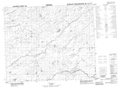
033D16 Riviere De Peuplier Canada topo map, 1:50,000 scale
033D16 Riviere De Peuplier NRCAN topographic map.
Includes UTM and GPS geographic coordinates (latitude and longitude). This 50k scale map is suitable for hiking, camping, and exploring, or you could frame it as a wall map.
Printed on-demand using high resolution, on heavy weight and acid free paper, or as an upgrade on a variety of synthetic materials.
Topos available on paper, Waterproof, Poly, or Tyvek. Usually shipping rolled, unless combined with other folded maps in one order.
- Product Number: NRCAN-033D16
- Parent Topo: TOPO-033D
- Map ID also known as: 033D16, 33D16
- Unfolded Size: Approximately 26" high by 36" wide
- Weight (paper map): ca. 55 grams
- Map Type: POD NRCAN Topographic Map
- Map Scale: 1:50,000
- Geographical region: Quebec, Canada
Neighboring Maps:
All neighboring Canadian topo maps are available for sale online at 1:50,000 scale.
Purchase the smaller scale map covering this area: Topo-033D
Spatial coverage:
Topo map sheet 033D16 Riviere De Peuplier covers the following places:
- Lac Apikam - Lac Apuskunakukuwakanut - Lac Autamhachikwanut - Lac Kawitapitam - Lac Machiwakami - Lac Mus Amaschisit - Lac Watis Apachisik - Réserve de Nouveau-Comptoir - Réserve de Wemindji - Rivière Clergue - Rivière du Peuplier - Rivière du Vieux Comptoir - Rivière Poplar - Rivière Sabascunica - Rivière Torviens - Ruisseau Apikam - Ruisseau Aypiska - Ruisseau Kowitipitum - Ruisseau Kukuminu - Ruisseau Pichanikap


