
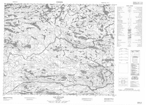
033B13 Lac Dullos Canada topo map, 1:50,000 scale
033B13 Lac Dullos NRCAN topographic map.
Includes UTM and GPS geographic coordinates (latitude and longitude). This 50k scale map is suitable for hiking, camping, and exploring, or you could frame it as a wall map.
Printed on-demand using high resolution, on heavy weight and acid free paper, or as an upgrade on a variety of synthetic materials.
Topos available on paper, Waterproof, Poly, or Tyvek. Usually shipping rolled, unless combined with other folded maps in one order.
- Product Number: NRCAN-033B13
- Parent Topo: TOPO-033B
- Map ID also known as: 033B13, 33B13
- Unfolded Size: Approximately 26" high by 36" wide
- Weight (paper map): ca. 55 grams
- Map Type: POD NRCAN Topographic Map
- Map Scale: 1:50,000
- Geographical region: Quebec, Canada
Neighboring Maps:
All neighboring Canadian topo maps are available for sale online at 1:50,000 scale.
Purchase the smaller scale map covering this area: Topo-033B
Spatial coverage:
Topo map sheet 033B13 Lac Dullos covers the following places:
- Lac Akukameskasich - Lac Dullos - Lac Kapichisakas - Lac Kaupitatin - Lac Kawayasakamikaw - Lac Mischinusaw - Lac Mistamapis - Lac Wapisu Pachistwakan - Lac Wayapitakach - Réservoir Opinaca - Colline Wapiyikus - Rivière Giard - Rivière Kapichisakasistikw - Rivière Kawasayakamikastikw - Rivière Menouow - Rivière Opinaca - Confluent Pachistiwakanusich


