
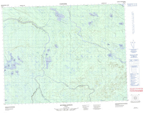
032L15 Riviere Patrick Canada topo map, 1:50,000 scale
032L15 Riviere Patrick NRCAN topographic map.
Includes UTM and GPS geographic coordinates (latitude and longitude). This 50k scale map is suitable for hiking, camping, and exploring, or you could frame it as a wall map.
Printed on-demand using high resolution, on heavy weight and acid free paper, or as an upgrade on a variety of synthetic materials.
Topos available on paper, Waterproof, Poly, or Tyvek. Usually shipping rolled, unless combined with other folded maps in one order.
- Product Number: NRCAN-032L15
- Parent Topo: TOPO-032L
- Map ID also known as: 032L15, 32L15
- Unfolded Size: Approximately 26" high by 36" wide
- Weight (paper map): ca. 55 grams
- Map Type: POD NRCAN Topographic Map
- Map Scale: 1:50,000
- Geographical region: Quebec, Canada
Neighboring Maps:
All neighboring Canadian topo maps are available for sale online at 1:50,000 scale.
Purchase the smaller scale map covering this area: Topo-032L
Spatial coverage:
Topo map sheet 032L15 Riviere Patrick covers the following places:
- Péninsule Ministikawatin - Lac Hélène - Lac Kamituskach - Lac Kasakuwapechikamach - Lac Yvonne - Colline Kaminapuschesich - Colline Kaminasach - Colline Muschipakuchi - Colline Muschipuku - Colline Uschiskash - Rapides Kanatwayapiskastikw - Rapides Kaupanapiskasich - Rivière Kitchigama - Rivière Miskwatik - Rivière Missisicabi - Rivière Missisicabi Est - Rivière Missisicabi Ouest - Rivière Nottaway - Rivière Obamsca - Rivière Patrick - Ruisseau Chalis Kamuwat Iskutamui - Ruisseau Chistatuchunach Kasaipaych - Ruisseau Echistawetakuch - Ruisseau Kaaputiniskayuwetich - Ruisseau Kachikutuwanuch - Ruisseau Kautuspiskach - Ruisseau Kawisaskuhipech - Ruisseau Kusapichikan - Ruisseau Pat Kamuwakanut - Ruisseau Salomon - Ruisseau Swaluman Kaustach - Portage Kapitachuch - Papakamistikw - Marais Mistakanschekw


