
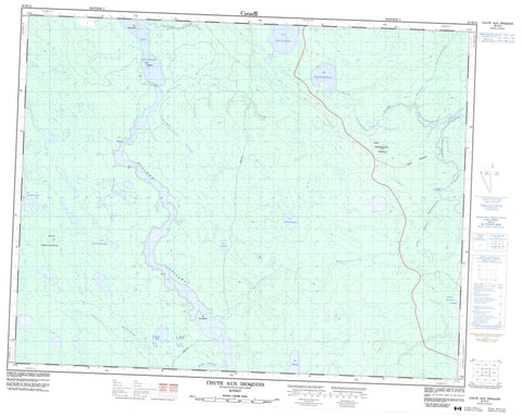
032K12 Chute Aux Iroquois Canada topo map, 1:50,000 scale
032K12 Chute Aux Iroquois NRCAN topographic map.
Includes UTM and GPS geographic coordinates (latitude and longitude). This 50k scale map is suitable for hiking, camping, and exploring, or you could frame it as a wall map.
Printed on-demand using high resolution, on heavy weight and acid free paper, or as an upgrade on a variety of synthetic materials.
Topos available on paper, Waterproof, Poly, or Tyvek. Usually shipping rolled, unless combined with other folded maps in one order.
- Product Number: NRCAN-032K12
- Parent Topo: TOPO-032K
- Map ID also known as: 032K12, 32K12
- Unfolded Size: Approximately 26" high by 36" wide
- Weight (paper map): ca. 55 grams
- Map Type: POD NRCAN Topographic Map
- Map Scale: 1:50,000
- Geographical region: Quebec, Canada
Neighboring Maps:
All neighboring Canadian topo maps are available for sale online at 1:50,000 scale.
Purchase the smaller scale map covering this area: Topo-032K
Spatial coverage:
Topo map sheet 032K12 Chute Aux Iroquois covers the following places:
- Chute aux Iroquois - Île Kauskatistin - Île Michikushish - Îles Nestipuku - Lac Dusaux - Lac Kapapitukamach - Lac Katutupisisikanuch - Lac Kawaseyapiskau - Lac Kelvin - Lac Marcée - Lac Michelle - Lac Miyachisachistuwach - Lac Mouliers - Lac Nichikw - Colline Kakusikuch - Colline Kapapitukamastikw - Colline Waseyapiskatinach Useyapiskau - Rapides Amikanan - Rapides Longs - Rivière Davoust - Rivière Matawawaskweyau - Rivière Nottaway - Rivière Pauschikushish Ewiwach - Ruisseau Kachishewechuch - Ruisseau Kapitastikweyach - Ruisseau Kauskatistin - Ruisseau Kawayuyamiskupau - Ruisseau Matawauyapiskau - Ruisseau Nestipuku - Ruisseau Pisimwetach Kayspaich - Ruisseau Takutachun Kakuskwapiminakuch


