
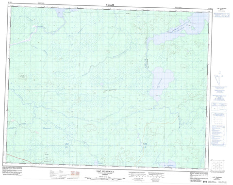
032K11 Lac Ouagama Canada topo map, 1:50,000 scale
032K11 Lac Ouagama NRCAN topographic map.
Includes UTM and GPS geographic coordinates (latitude and longitude). This 50k scale map is suitable for hiking, camping, and exploring, or you could frame it as a wall map.
Printed on-demand using high resolution, on heavy weight and acid free paper, or as an upgrade on a variety of synthetic materials.
Topos available on paper, Waterproof, Poly, or Tyvek. Usually shipping rolled, unless combined with other folded maps in one order.
- Product Number: NRCAN-032K11
- Parent Topo: TOPO-032K
- Map ID also known as: 032K11, 32K11
- Unfolded Size: Approximately 26" high by 36" wide
- Weight (paper map): ca. 55 grams
- Map Type: POD NRCAN Topographic Map
- Map Scale: 1:50,000
- Geographical region: Quebec, Canada
Neighboring Maps:
All neighboring Canadian topo maps are available for sale online at 1:50,000 scale.
Purchase the smaller scale map covering this area: Topo-032K
Spatial coverage:
Topo map sheet 032K11 Lac Ouagama covers the following places:
- Baie du Sud-Ouest - Pointe Kamachisteweskach - Île Kaministikuskako - Bras West - Lac Cashagawegama - Lac Chabinoche - Lac Chewabinash - Lac Dana - Lac Evans - Lac Iskaskunikau - Lac Kasakahikanuskwepiyach - Lac Kashagawegama - Lac Long - Lac Ouagama - Lac Turgeon - Colline Amikapish - Colline Kapikupechinach - Colline Mus Ekakawipitich - Rivière Chabinoche - Rivière Chewabinash - Rivière Enistustikweyach - Rivière Iskaskunikaw - Rivière Pauschikushish Ewiwach - Ruisseau Kakaskutatakuch - Ruisseau Kapisaukanew - Ruisseau Matawawskweyasi - Ruisseau Mitapeschiskau - Ruisseau Pisimwetach Kayspaich - Portage des Sept-Côtes - Portage Kwechu - Portage Seven Hills - Kapimhyamakach Kachiteuhumakach


