
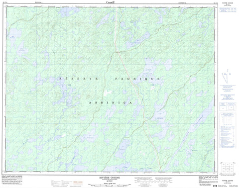
032J14 Riviere Coigne Canada topo map, 1:50,000 scale
032J14 Riviere Coigne NRCAN topographic map.
Includes UTM and GPS geographic coordinates (latitude and longitude). This 50k scale map is suitable for hiking, camping, and exploring, or you could frame it as a wall map.
Printed on-demand using high resolution, on heavy weight and acid free paper, or as an upgrade on a variety of synthetic materials.
Topos available on paper, Waterproof, Poly, or Tyvek. Usually shipping rolled, unless combined with other folded maps in one order.
- Product Number: NRCAN-032J14
- Parent Topo: TOPO-032J
- Map ID also known as: 032J14, 32J14
- Unfolded Size: Approximately 26" high by 36" wide
- Weight (paper map): ca. 55 grams
- Map Type: POD NRCAN Topographic Map
- Map Scale: 1:50,000
- Geographical region: Quebec, Canada
Neighboring Maps:
All neighboring Canadian topo maps are available for sale online at 1:50,000 scale.
Purchase the smaller scale map covering this area: Topo-032J
Spatial coverage:
Topo map sheet 032J14 Riviere Coigne covers the following places:
- Lac Bécherau - Lac Béchereau - Lac Caqueville - Lac Carqueville - Lac Cloespel - Lac Coigne - Lac Depiace - Lac Du Guerny - Lac Jacquin - Lac La Fare - Lac La Milletière - Lac Labeau - Lac Monbaudry - Lac Péricard - Lac Pétrée - Lac Revercourt - Réserve faunique Assinica - Petite rivière Nottaway - Rivière Broadback - Rivière Coigne - Rivière Rapid - Rivière Victoria


