
032J10 Lac Regnault Canada topo map, 1:50,000 scale
032J10 Lac Regnault NRCAN topographic map.
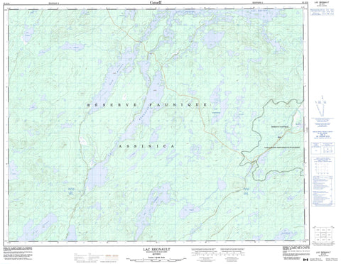
Includes UTM and GPS geographic coordinates (latitude and longitude). This 50k scale map is suitable for hiking, camping, and exploring, or you could frame it as a wall map.
Printed on-demand using high resolution, on heavy weight and acid free paper, or as an upgrade on a variety of synthetic materials.
Topos available on paper, Waterproof, Poly, or Tyvek. Usually shipping rolled, unless combined with other folded maps in one order.
- Product Number: NRCAN-032J10
- Parent Topo: TOPO-032J
- Map ID also known as: 032J10, 32J10
- Unfolded Size: Approximately 26" high by 36" wide
- Weight (paper map): ca. 55 grams
- Map Type: POD NRCAN Topographic Map
- Map Scale: 1:50,000
- Geographical region: Quebec, Canada
Neighboring Maps:
All neighboring Canadian topo maps are available for sale online at 1:50,000 scale.
Purchase the smaller scale map covering this area: Topo-032J
Spatial coverage:
Topo map sheet 032J10 Lac Regnault covers the following places:
- Baie Moléon - Lac Moléon - Clairy - Lac Anne - Lac Brigitte - Lac Bugon - Lac Cachisca - Lac Capacwachipsca - Lac Cartier - Lac Chaloneau - Lac Châtillon - Lac Chix - Lac Coulombe - Lac De Maurès - Lac des Deux Fortunat - Lac Domergue - Lac Dompierre - Lac Eight - Lac Frotet - Lac Garlier - Lac Guigues - Lac Jacques - Lac Laloire - Lac Lezai - Lac Michel - Lac Moblan - Lac Oudiette - Lac Pierre - Lac Regnault - Lac Samuel-Bédard - Lac Tortigny - North Brock Lake - Réserve faunique Assinica - Réserve faunique des Lacs-Albanel-Mistassini-et-Waconichi


