
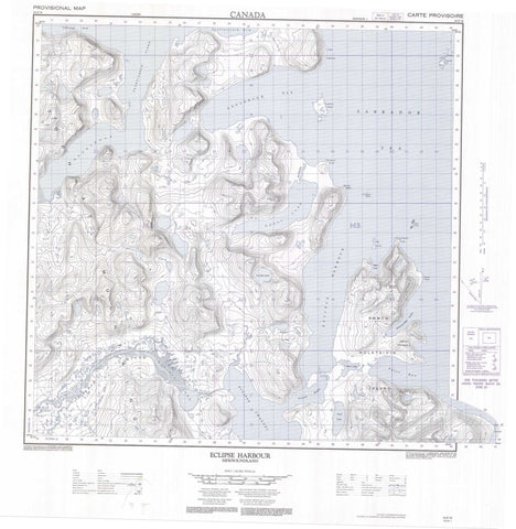
024P16 Eclipse Harbour Canada topo map, 1:50,000 scale
024P16 Eclipse Harbour NRCAN topographic map.
Includes UTM and GPS geographic coordinates (latitude and longitude). This 50k scale map is suitable for hiking, camping, and exploring, or you could frame it as a wall map.
Printed on-demand using high resolution, on heavy weight and acid free paper, or as an upgrade on a variety of synthetic materials.
Topos available on paper, Waterproof, Poly, or Tyvek. Usually shipping rolled, unless combined with other folded maps in one order.
- Product Number: NRCAN-024P16
- Parent Topo: TOPO-024P
- Map ID also known as: 024P16, 24P16
- Unfolded Size: Approximately 26" high by 36" wide
- Weight (paper map): ca. 55 grams
- Map Type: POD NRCAN Topographic Map
- Map Scale: 1:50,000
- Geographical region: Newfoundland and Labrador, Canada
Neighboring Maps:
All neighboring Canadian topo maps are available for sale online at 1:50,000 scale.
Purchase the smaller scale map covering this area: Topo-024P
Spatial coverage:
Topo map sheet 024P16 Eclipse Harbour covers the following places:
- Alexander Inlet - Bibb Cove - Eclipse Harbour - Ekortiarsuk Fiord - False Bay - French Bight - Noodleook Fiord - Saglarsuk Bay - Tellialuk Fiord - Telliaosilk Fiord - Cape Kakkiviak - Henry Peninsula - Mount Bache Point - Murray Head - Nones Head - Thompson Point - Eclipse Channel - Galvano Islands - Lambert Island - North Aulatsivik Island - Platt Islands - Eclipse Lake - Lieber Lake - Odell Lake - Scolt Lake - Venable Lake - Walker Lakes - Castle Mountain - Mount Bache - Torngat Mountains - Torugak Mountains - Eclipse River - Hubbard River - Ashe Rocks - Chance Rocks


