
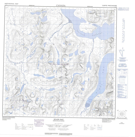
024P09 Ryans Bay Canada topo map, 1:50,000 scale
024P09 Ryans Bay NRCAN topographic map.
Includes UTM and GPS geographic coordinates (latitude and longitude). This 50k scale map is suitable for hiking, camping, and exploring, or you could frame it as a wall map.
Printed on-demand using high resolution, on heavy weight and acid free paper, or as an upgrade on a variety of synthetic materials.
Topos available on paper, Waterproof, Poly, or Tyvek. Usually shipping rolled, unless combined with other folded maps in one order.
- Product Number: NRCAN-024P09
- Parent Topo: TOPO-024P
- Map ID also known as: 024P09, 24P9, 24P09
- Unfolded Size: Approximately 26" high by 36" wide
- Weight (paper map): ca. 55 grams
- Map Type: POD NRCAN Topographic Map
- Map Scale: 1:50,000
- Geographical region: Newfoundland and Labrador, Canada
Neighboring Maps:
All neighboring Canadian topo maps are available for sale online at 1:50,000 scale.
Purchase the smaller scale map covering this area: Topo-024P
Spatial coverage:
Topo map sheet 024P09 Ryans Bay covers the following places:
- Maddon Cove - Ryans Bay - Atkins Point - Goodfellow Peninsula - Miller Peninsula - Eclipse Channel - Thomas Brown Glacier - North Aulatsivik Island - Crystal Tarns - Halfbowl Tarn - Lake Blandford - Lake Coghlan - Lake Downer - Teapot Lake - Wade Tarn - Monts Torngat - Mount Ford - O'Brien Range - Shittamat Peak - The Horns - Torngat Mountains - Torugak Mountains - McLean River - Perkins River - Bryant Pass


