
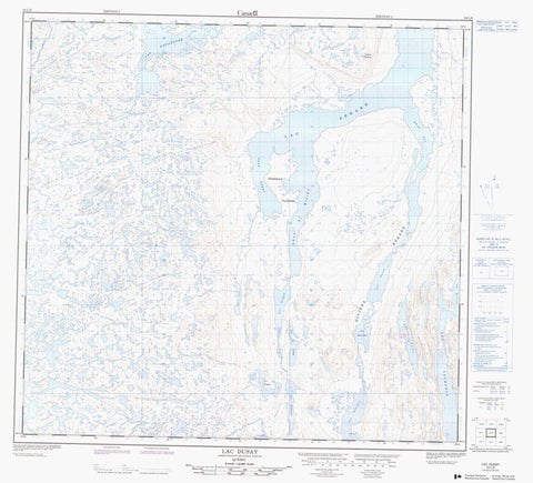
024L08 Lac Dusay Canada topo map, 1:50,000 scale
024L08 Lac Dusay NRCAN topographic map.
Includes UTM and GPS geographic coordinates (latitude and longitude). This 50k scale map is suitable for hiking, camping, and exploring, or you could frame it as a wall map.
Printed on-demand using high resolution, on heavy weight and acid free paper, or as an upgrade on a variety of synthetic materials.
Topos available on paper, Waterproof, Poly, or Tyvek. Usually shipping rolled, unless combined with other folded maps in one order.
- Product Number: NRCAN-024L08
- Parent Topo: TOPO-024L
- Map ID also known as: 024L08, 24L8, 24L08
- Unfolded Size: Approximately 26" high by 36" wide
- Weight (paper map): ca. 55 grams
- Map Type: POD NRCAN Topographic Map
- Map Scale: 1:50,000
- Geographical region: Quebec, Canada
Neighboring Maps:
All neighboring Canadian topo maps are available for sale online at 1:50,000 scale.
Purchase the smaller scale map covering this area: Topo-024L
Spatial coverage:
Topo map sheet 024L08 Lac Dusay covers the following places:
- Bras du Milieu - Bras Est - Bras Ouest - Péninsule Itijjagiaq - Passe Tarrasiq - Lac Ali - Lac Bérard - Lac Bones - Lac Chioac - Lac Chioack - Lac Deharveng - Lac Dragon - Lac du Portage - Lac Dusay - Lac Finger - Lac Fish Hook - Lac Four Bears - Lac Garigue - Lac Gourdon - Lac Gregory - Lac Hameçon - Lac Harveng - Lac Irony - Lac Jars - Lac Lachance - Lac Laric - Lac Laura - Lac Octapus - Lac Papijjusaq - Lac Pourcher - Lac Siugak - Colline Siukkaq - Rivière Bérard - Rivière Chioac - Rivière Chioack - Rivière Finger


