
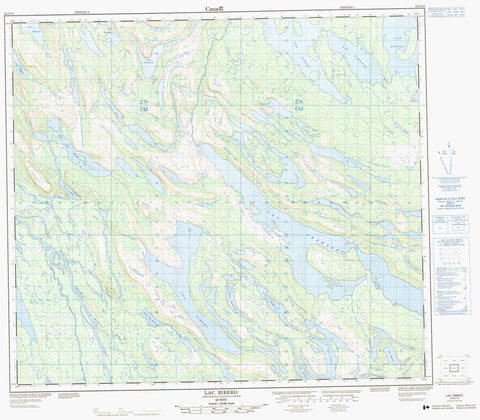
023O13 Lac Ribero Canada topo map, 1:50,000 scale
023O13 Lac Ribero NRCAN topographic map.
Includes UTM and GPS geographic coordinates (latitude and longitude). This 50k scale map is suitable for hiking, camping, and exploring, or you could frame it as a wall map.
Printed on-demand using high resolution, on heavy weight and acid free paper, or as an upgrade on a variety of synthetic materials.
Topos available on paper, Waterproof, Poly, or Tyvek. Usually shipping rolled, unless combined with other folded maps in one order.
- Product Number: NRCAN-023O13
- Parent Topo: TOPO-023O
- Map ID also known as: 023O13, 23O13
- Unfolded Size: Approximately 26" high by 36" wide
- Weight (paper map): ca. 55 grams
- Map Type: POD NRCAN Topographic Map
- Map Scale: 1:50,000
- Geographical region: Newfoundland and Labrador, Canada
Neighboring Maps:
All neighboring Canadian topo maps are available for sale online at 1:50,000 scale.
Purchase the smaller scale map covering this area: Topo-023O
Spatial coverage:
Topo map sheet 023O13 Lac Ribero covers the following places:
- Lac à la Barre - Lac au Pas - Lac aux Bouleaux - Lac aux Sapins - Lac Citadel - Lac Coudret - Lac Cramolet - Lac Dantin - Lac des DeuxÎles - Lac Dunphy - Lac Effiat - Lac Larabel - Lac Laudran - Lac Le Borgne - Lac Pascaud - Lac Plouart - Lac Ribero - Lac Roze - Lac Sauvin - Lac Suranne - Lac Tow Island - Lac Villot - Lac Wilsie - Rivière Swampy Bay - Ruisseau Achanipakatakaniusipis - Portage Achan - Portage Kapistawasitakaniuch


