
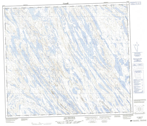
023O07 Lac Bacchus Canada topo map, 1:50,000 scale
023O07 Lac Bacchus NRCAN topographic map.
Includes UTM and GPS geographic coordinates (latitude and longitude). This 50k scale map is suitable for hiking, camping, and exploring, or you could frame it as a wall map.
Printed on-demand using high resolution, on heavy weight and acid free paper, or as an upgrade on a variety of synthetic materials.
Topos available on paper, Waterproof, Poly, or Tyvek. Usually shipping rolled, unless combined with other folded maps in one order.
- Product Number: NRCAN-023O07
- Parent Topo: TOPO-023O
- Map ID also known as: 023O07, 23O7, 23O07
- Unfolded Size: Approximately 26" high by 36" wide
- Weight (paper map): ca. 55 grams
- Map Type: POD NRCAN Topographic Map
- Map Scale: 1:50,000
- Geographical region: Newfoundland and Labrador, Canada
Neighboring Maps:
All neighboring Canadian topo maps are available for sale online at 1:50,000 scale.
Purchase the smaller scale map covering this area: Topo-023O
Spatial coverage:
Topo map sheet 023O07 Lac Bacchus covers the following places:
- Cormier Lake - Lac Anne - Lac Aubin - Lac Aymon - Lac Bacchus - Lac Baxter - Lac Benjamin - Lac Bird - Lac d'Aux - Lac des Oiseaux - Lac du Nord - Lac Gates - Lac Goose - Lac Gosling - Lac Gustafson - Lac Helene - Lac Hurst - Lac Jean - Lac Kathleen - Lac Keating - Lac La Grange - Lac Léger - Lac Leslie - Lac Louis - Lac Mary - Lac Maujean - Lac McNeely - Lac Meausin - Lac Monic - Lac Murdoch - Lac Northern - Lac Pauline - Lac Pauperet - Lac Peterson - Lac Pivin - Lac Ploughed - Lac Pointel - Lac Ponsard - Lac Poupeau - Lac Rousselière - Lac Selina - Lac Simonet - Lac Volcanic - Ploughed Lake - Rabbit Lake - Kawawachikamach - Schefferville


