
023O03W Lac De La Frontiere Canada topo map, 1:50,000 scale
023O03W Lac De La Frontiere NRCAN topographic map.
Includes UTM and GPS geographic coordinates (latitude and longitude). This 50k scale map is suitable for hiking, camping, and exploring, or you could frame it as a wall map.
Printed on-demand using high resolution, on heavy weight and acid free paper, or as an upgrade on a variety of synthetic materials.
Topos available on paper, Waterproof, Poly, or Tyvek. Usually shipping rolled, unless combined with other folded maps in one order.
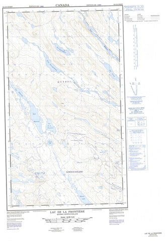
- Halfsheet: This map was designed as a half sheet of NRCAN-023O03, and it is the Western half. Find the eastern half sheet here.
- Product Number: NRCAN-023O03W
- Parent Topo: TOPO-023O
- Map ID also known as: 023O03, 23O3, 23O03
- Unfolded Size: Approximately 26" high by 36" wide
- Weight (paper map): ca. 55 grams
- Map Type: POD NRCAN Topographic Map
- Map Scale: 1:50,000
- Geographical region: Newfoundland and Labrador, Canada
Neighboring Maps:
All neighboring Canadian topo maps are available for sale online at 1:50,000 scale.
Purchase the smaller scale map covering this area: Topo-023O
Spatial coverage:
Topo map sheet 023O03W Lac De La Frontiere covers the following places:
- Foggy Lake - Gilles Lake - Harry Lake - Howells Lake - Joan Lake - Kivivic Lake - Lac Annabel - Lac Bait - Lac Blackbird - Lac Boundary - Lac Bourdet - Lac Boutet - Lac Bruin - Lac de la Frontière - Lac de l'Ours Brun - Lac Foggy - Lac Gillard - Lac Gilles - Lac Gillespie - Lac Hameau - Lac Harris - Lac Harry - Lac Hook - Lac Jigsaw - Lac Joan - Lac La Tesserie - Lac Leroy - Lac Lespinay - Lac Lottie - Lac Maquart - Lac Margaret-Nash - Lac Mollie - Lac Nash - Lac Partington - Lac Roullois - Lac Saint-Martin - Lac Scott - Lac Snow - Lac Sunny Mountain - Lac Swampy - Lac Twisted - Lac Weasel - Lottie Lake - Nash Lake - Rocky Pond - Rocky Pond - Sunny Mountain Lake - Geren Mountain - Mont Geren - Mont Sunny - Foggy Brook - Howells River - Joan Brook - Kivivic Brook - Lottie Brook - Rivière Ferrum - Rivière Goodwood - Rivière Swampy Bay - Rocky Brook - Ruisseau Foggy - Ruisseau Geren - Ruisseau Joan - Ruisseau La Potardière - Ruisseau La Potardière - Ruisseau Lespinay - Ruisseau Lottie - Ruisseau Pinacle - Ruisseau Rocky - Ruisseau Scott - Ruisseau Swampy - Kawawachikamach - Schefferville


