
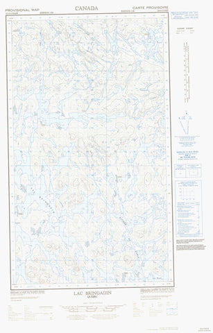
023J13E Lac Bringadin Canada topo map, 1:50,000 scale
023J13E Lac Bringadin NRCAN topographic map.
Includes UTM and GPS geographic coordinates (latitude and longitude). This 50k scale map is suitable for hiking, camping, and exploring, or you could frame it as a wall map.
Printed on-demand using high resolution, on heavy weight and acid free paper, or as an upgrade on a variety of synthetic materials.
Topos available on paper, Waterproof, Poly, or Tyvek. Usually shipping rolled, unless combined with other folded maps in one order.
- Halfsheet: This map was designed as a half sheet of NRCAN-023J13, and it is the Eastern half. Find the western half sheet here.
- Product Number: NRCAN-023J13E
- Parent Topo: TOPO-023J
- Map ID also known as: 023J13, 23J13
- Unfolded Size: Approximately 26" high by 36" wide
- Weight (paper map): ca. 55 grams
- Map Type: POD NRCAN Topographic Map
- Map Scale: 1:50,000
- Geographical region: Newfoundland and Labrador, Canada
Neighboring Maps:
All neighboring Canadian topo maps are available for sale online at 1:50,000 scale.
Purchase the smaller scale map covering this area: Topo-023J
Spatial coverage:
Topo map sheet 023J13E Lac Bringadin covers the following places:
- Baie Belloy - Lac Aulneau - Lac Bardet - Lac Bazil - Lac Bonpland - Lac Boucault - Lac Bringadin - Lac Chaigneau - Lac Chambalon - Lac Desceliers - Lac Deyeux - Lac Dumb-Bell - Lac Francheville - Lac Haltère - Lac Lagrange - Lac Lerminier - Lac Pinel - Lac Sérurier - Lac Soult - Lac Vallard - Rivière du Sable


