
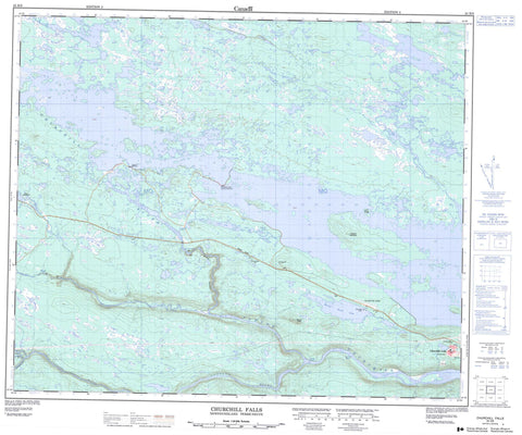
023H09 Churchill Falls Canada topo map, 1:50,000 scale
023H09 Churchill Falls NRCAN topographic map.
Includes UTM and GPS geographic coordinates (latitude and longitude). This 50k scale map is suitable for hiking, camping, and exploring, or you could frame it as a wall map.
Printed on-demand using high resolution, on heavy weight and acid free paper, or as an upgrade on a variety of synthetic materials.
Topos available on paper, Waterproof, Poly, or Tyvek. Usually shipping rolled, unless combined with other folded maps in one order.
- Product Number: NRCAN-023H09
- Parent Topo: TOPO-023H
- Map ID also known as: 023H09, 23H9, 23H09
- Unfolded Size: Approximately 26" high by 36" wide
- Weight (paper map): ca. 55 grams
- Map Type: POD NRCAN Topographic Map
- Map Scale: 1:50,000
- Geographical region: Newfoundland and Labrador, Canada
Neighboring Maps:
All neighboring Canadian topo maps are available for sale online at 1:50,000 scale.
Purchase the smaller scale map covering this area: Topo-023H
Spatial coverage:
Topo map sheet 023H09 Churchill Falls covers the following places:
- Churchill Falls - Grand Falls - Michelin Falls - Thomas Falls - Whitefish Falls - Burnt Lake - Diver Pond - Fore and Aft Pond - Gull Lake - Humbug Lake - Jacopie Lake - Lemon Lake - Logan Lake - Lookout Lake - Mount Hyde Lake - Notleys Pond - Whitefish Lake - Lookout Mountain - Louis Ridge - Mount Hyde - Barrier Rapids - Disaster Rapids - Louie Rapids - Powell Rapids - BonnellCreek - Churchill River - Fleuve Churchill - Hamilton River - Mahers Brook - Portage River - Unknown River - Valley River - Churchill Falls - Bowdoin Canyon


