
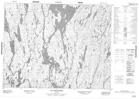
022L09 Lac Des Prairies Canada topo map, 1:50,000 scale
022L09 Lac Des Prairies NRCAN topographic map.
Includes UTM and GPS geographic coordinates (latitude and longitude). This 50k scale map is suitable for hiking, camping, and exploring, or you could frame it as a wall map.
Printed on-demand using high resolution, on heavy weight and acid free paper, or as an upgrade on a variety of synthetic materials.
Topos available on paper, Waterproof, Poly, or Tyvek. Usually shipping rolled, unless combined with other folded maps in one order.
- Product Number: NRCAN-022L09
- Parent Topo: TOPO-022L
- Map ID also known as: 022L09, 22L9, 22L09
- Unfolded Size: Approximately 26" high by 36" wide
- Weight (paper map): ca. 55 grams
- Map Type: POD NRCAN Topographic Map
- Map Scale: 1:50,000
- Geographical region: Quebec, Canada
Neighboring Maps:
All neighboring Canadian topo maps are available for sale online at 1:50,000 scale.
Purchase the smaller scale map covering this area: Topo-022L
Spatial coverage:
Topo map sheet 022L09 Lac Des Prairies covers the following places:
- Baie Carrée - Baie de Foin - Baie Guénette - La Grande Baie - Le Grand Bras - Pontbriand - La Grosse Île - Lac Atik - Lac Auriécho - Lac des Prairies - Lac des Trois Îles - Lac Desjardins - Lac Double - Lac du Raccourci - Lac Écarté - Lac Écho - Lac Jean-Paul - Lac Kapitogamat - Lac Lavoie - Lac Opitoune - Lac Opitounis - Lac Otapoco - Lac Perdu - Lac Sans Voile - Lac Takaia - Lac Tokaia - Lac Wash-E-Te-Moon - Rivière Auriac - Rivière aux Pékans - Rivière Bersimis - Rivière Betsiamites - Rivière Canton - Rivière Croche - Rivière de la Grande Charge - Rivière Écho - Le Mur


